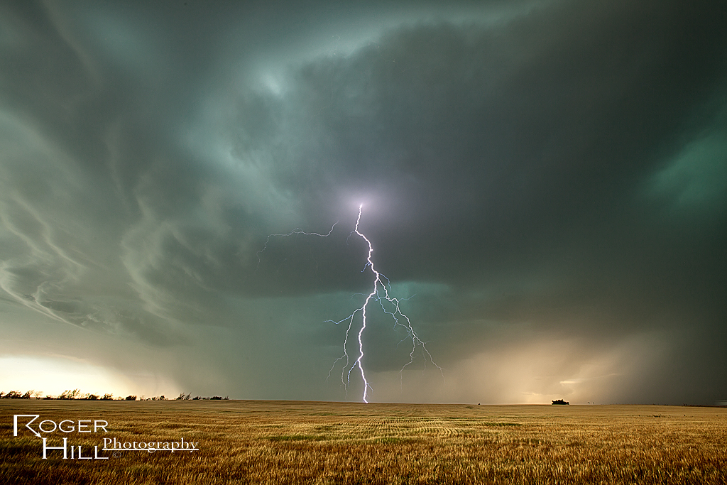
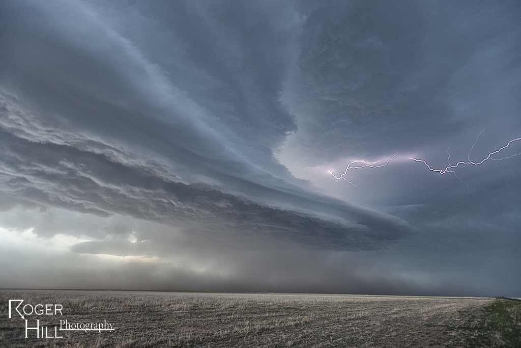
June 27th was an interesting day. Although dewpoints were in the low to mid 70s, temperatures were around 105F! Tons of instability was present, and storms exploded once the cap was breached northwest of Salina. Extremely high winds occurred, as well as hail to golfball sized, but storms congealed into a bowing line as they raced south towards Wichita. Nonetheless, one particular supercell gave us a pretty nice show and had decent structure as well as great lightning.
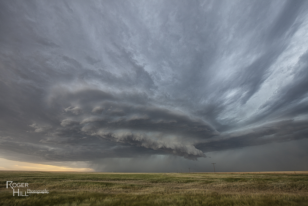
June 23rd Northeast Colorado Tornado Warned Supercell
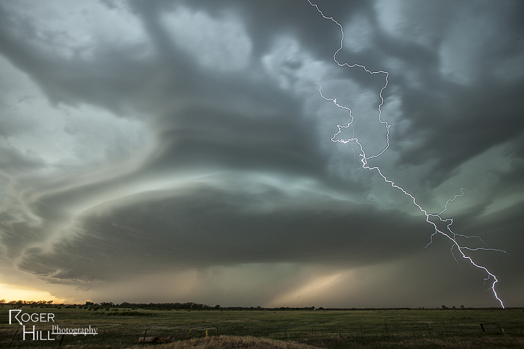
June 23rd featured decent shear, but again, low dewpoints. High based storms developed east of Denver and intensified, becoming severe, as they moved east into better moisture. One storm exhibited supercellular features and even became tornado warned, producing a decent funnel. structure was reasonably pretty and with the fresh wheat fields, was a nice treat.
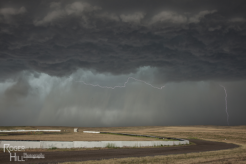
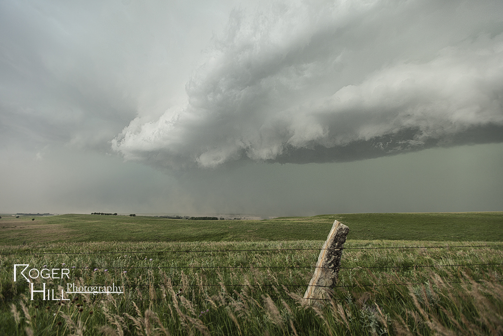
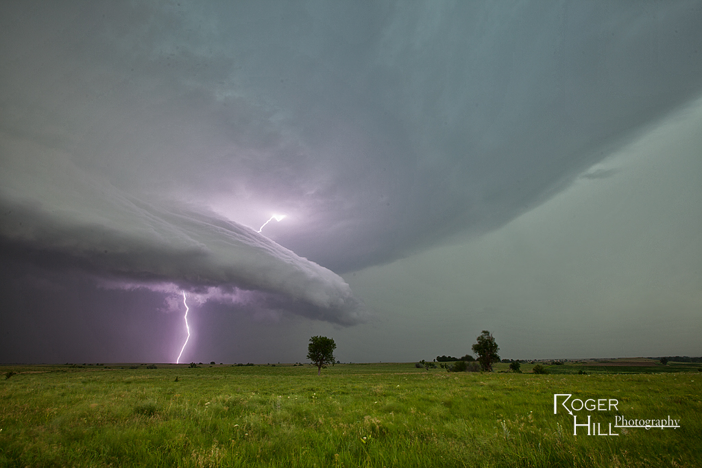
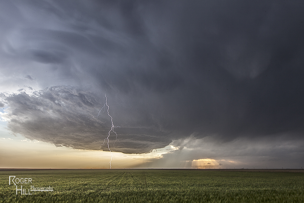
June 4th Southeast Colorado Supercell
I wasn’t expecting much this day due to poor moisture and not ideal shear. However, the upslope flow into the higher terrain of southeast Colorado and the western Oklahoma panhandle proved again to be sufficient for storm generation. One very pretty lpish supercell formed north of Boise City, OK/south of Campo, CO and gave us a very nice show. Pretty hard chasing with the passing of our good friend Tim Samaras, his son Paul and Carl Young. Very cool in the 3rd photo where the setting sun cast THREE light beams over us. Some is watching from above.
June 3rd Oklahoma Panhandle Severe Storms
June 3rd was an interesting day. Poor moisture, but decent shear would result in a cluster of outflow dominant severe storms. Many were quite electrified and pretty. Most produced marginal severe hail and severe outflow winds.