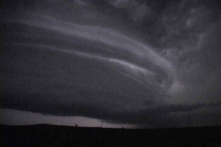
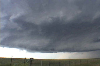
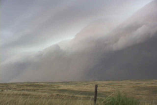
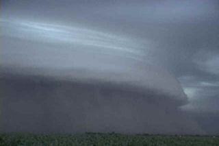
Limited moisture would destroy the possibility of a significant tornado on this day. Wonderful wind shear would be enough to get a couple intense supercells developing. One such storm developed in southeast MT and moved into western South Dakota. This supercell did everything it could to produce a tornado, but could not. However it did exhibit impressive structure. As night fell in South Dakota, this storm became an electrified monster.
July 7th, 2003 Ogallala, Nebraska Windstorm
This day would prove to be a rather interesting day. Several storms developed in eastern Colorado and merged into on very large bow echo as it approached Nebraska. Wind gusted to over 100 mph and caused considerable wind damage. Trees were down, as well as power outages and minor structural damage. One thing for sure was that the shelf cloud that formed with this system was quite impressive.
July 2nd, 2003 Elbow Lake, MN Hailstorm
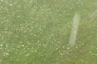
July 2 took me to the northern plains to chase a supercell in western Minnesota. Conditions were not favorable for tornadoes, but cold air aloft and good mid level flow would prove enough for rotating supercells producing very large hail. One such storm hit the Elbow Lake, MN area with 5″ diameter hail. I was fortunate or unfortunate enough to experience this supercell personally.


