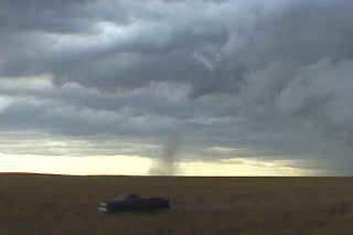
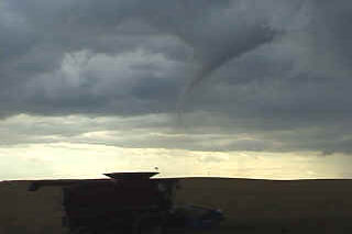
July 26 was a day with good possibilities for eastern Colorado. Decent shortwave energy was present, along with good instability and the DCVZ boundary setting up in eastern Arapahoe and Adams counties. I headed out the door shortly after lunch with a target to get under developing thunderstorms near the Byers area. Upon arrival just east of Byers, a nice cell had developed and was racing northeast rapidly away from me. Another cell was developing southwest of town, and this cell was the one I targeted. By 2 PM, a nice bell shaped, candy cane striated mesocyclone developed on the eastern side of the storm. Soon, rapid rotation was evident. At 2:28 Pm the tornado touched down and stayed on the ground for over 10 minutes. Overall a very nice storm and I fortunately got the results I had hoped for.
July 22nd, 2001 Faith, SD Tornadic Supercell
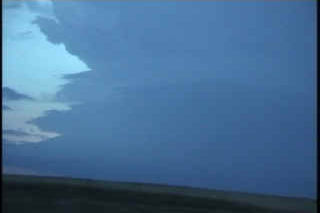
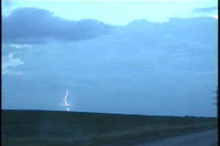
After chasing in northern plains with Rocky Rascovich (great chasing with you!!), my friend Dave Brown and I left eastern South Dakota headed west to a supercell coming out of Montana. As we approached the Mobridge, South Dakota area, we noticed a very long, fairly sharp anvil streaming to our northwest. The closer we got, the more I realized that this storm was something special. When we were about 20 miles east of Faith, we noticed a highly striated updraft that was very electrified. The lighting would light up the vault and reveal an awesome liberty bell shaped updraft that was obviously rotating. This storm had not one, but three inflow bands!!!!!! The updraft was moving just south of southeast, while the anvil was streaming almost due northward. As we got closer, about 20 miles from the updraft, we noticed a well formed wall cloud. At about 8 PM, a rather large cone tornado formed, with a nice tail cloud extending to the east. It stayed on the ground for 5 minutes before rapidly dissipating. As the updraft pushed to our east, we stayed behind it and watched an awesome CG show!!!


