Tag Archives | HP supercell

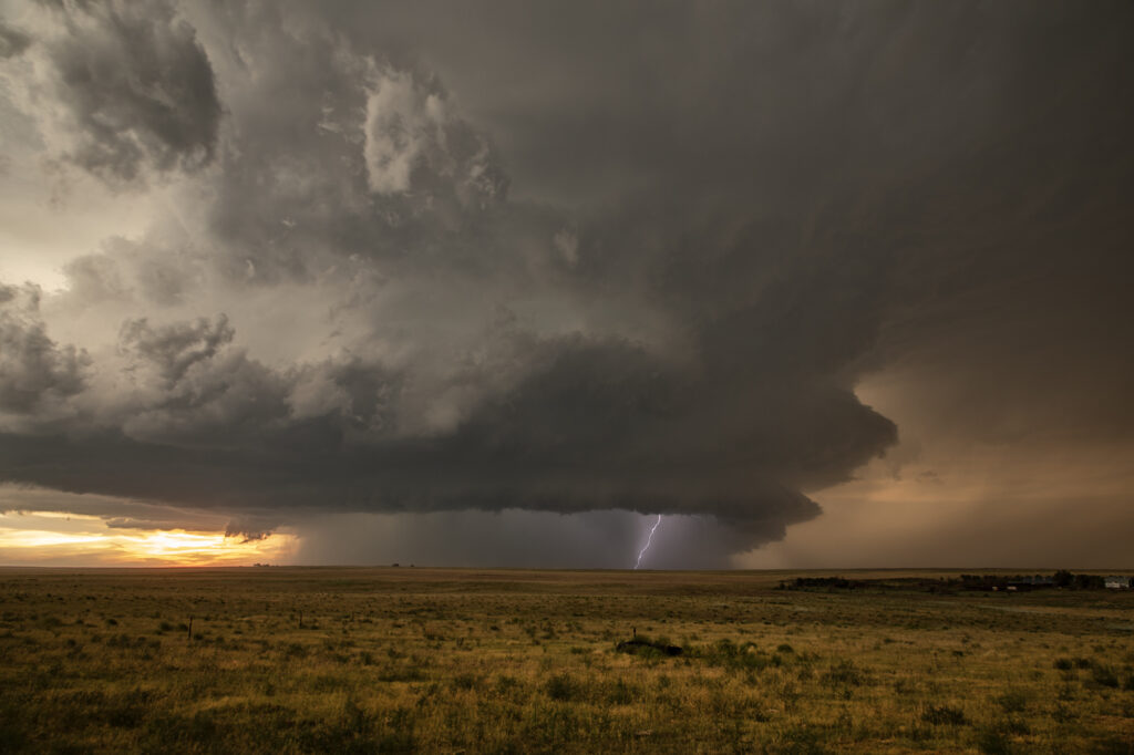
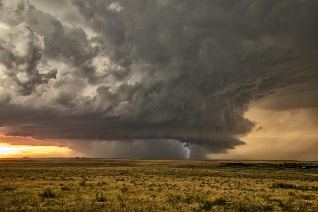
August 4th Kim, Colorado Tornado Warned Supercell

When you have nothing to photograph during our Desert Thunder tour, you go where there are storms, even if not in Arizona. Models were consistent on the set up in southeast Colorado on August 4th. We headed out and drove from Tucson, AZ to Springfield, CO. One lone supercell formed on the “LaJunta Low” just southwest of Lamar and right turned all the way to the New Mexico border. Structure was great and the lightning was amazing! We even watched a semi truck’s trailer get a direct hit, glowing it a bright orange in color! As the supercell turned into better moisture and instabillity, it steadily strengthened until it became tornado warned for 2 hours. It slowly took on HP features as the RFD cut around the updraft with a lot of precip and hail, blocking our view of what was happening under the base. A couple of times there appeared to be a cone shaped funnel that persisted for several minutes. Eventually though, the precip became too dense to see under it anymore and we had to admire the beautiful structure! A long way to come for a storm, but it was well worth it! Enjoy the pics!


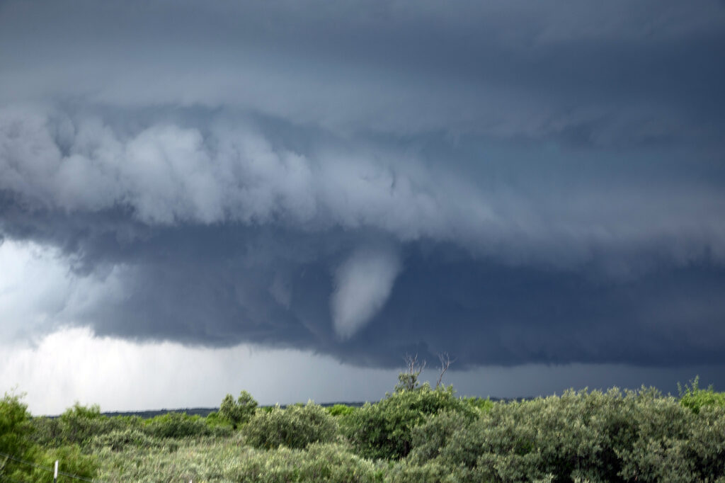
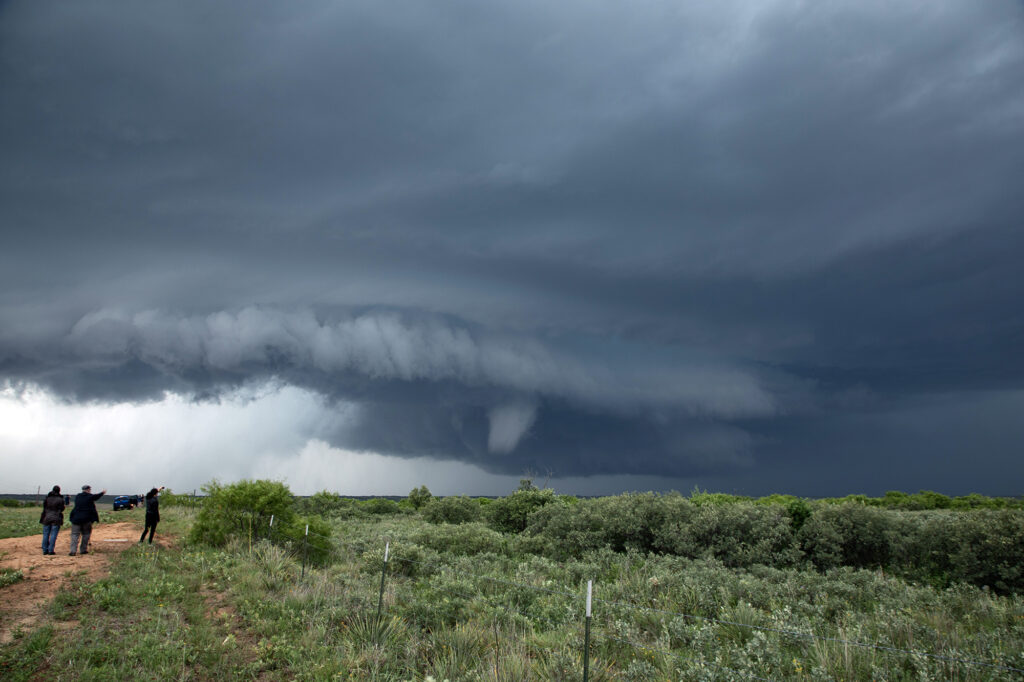
May 25th Afton, Texas Tornadic Supercell

May 25th looked like a high CAPE, lower shear day. A supercell formed west of Matador early in the afternoon, and drifted south along a boundary. It just never had the look like it wanted to produce. Flow around 850-700mb was lacking and it showed. Further south from town, we ended up near Afton on an FM road. Chaser traffic was pretty bad, but we managed to get out from under the hook and watched as the storm’s RFD really cranked up. A truncated cone funnel formed and reportedly touched down. Within a few minutes it dissipated and the storm became outflow dominant.  Still in chase mode, we targeted a new supercell southwest of Haskell. By the time we got there, the tail end storm rapidly intensified. Reports of a brief tornado came in, but from our location northeast of the updraft, looking down the notch, we could not confirm or deny. A couple of suspicious lowerings were observed, but that was about it. The electrification of this storm was other worldly! Eventually it weakened as a cluster formed, so we blew it off and headed back to Oklahoma City for other chase day. An exciting day that we all enjoyed some edge of your seats chasing! We hope you like the photos!