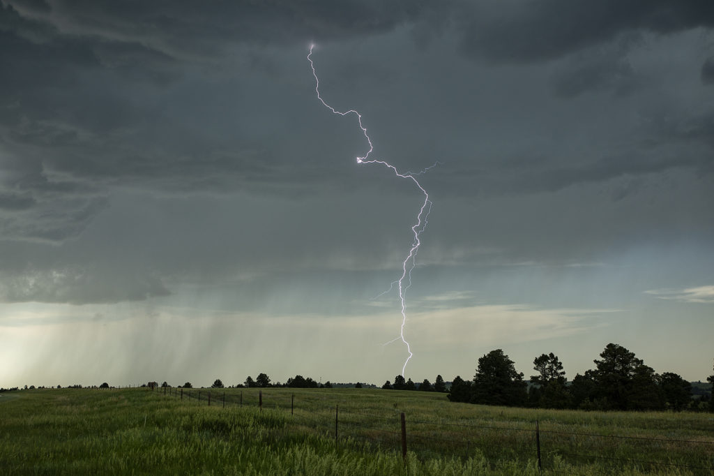
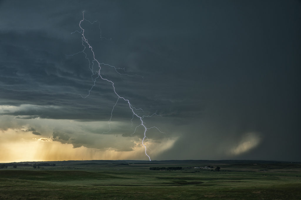
June 13th was the last chase day for the next week as a massive ridge of high pressure dominated the western 2/3 of the US. Fortunately we were able to catch a few severe storms/marginal supercells in western Nebraska north of Alliance. Good CAPE, but marginal shear would let these storms become a cluster of outflow dominant storms late in the day. However they were quite electrified, before gusting out near Hemingford, Nebraska. Fun day, with 80mph winds, golfball sized hail and some pretty scenery to watch these storm do their thing! Enjoy the pics!


