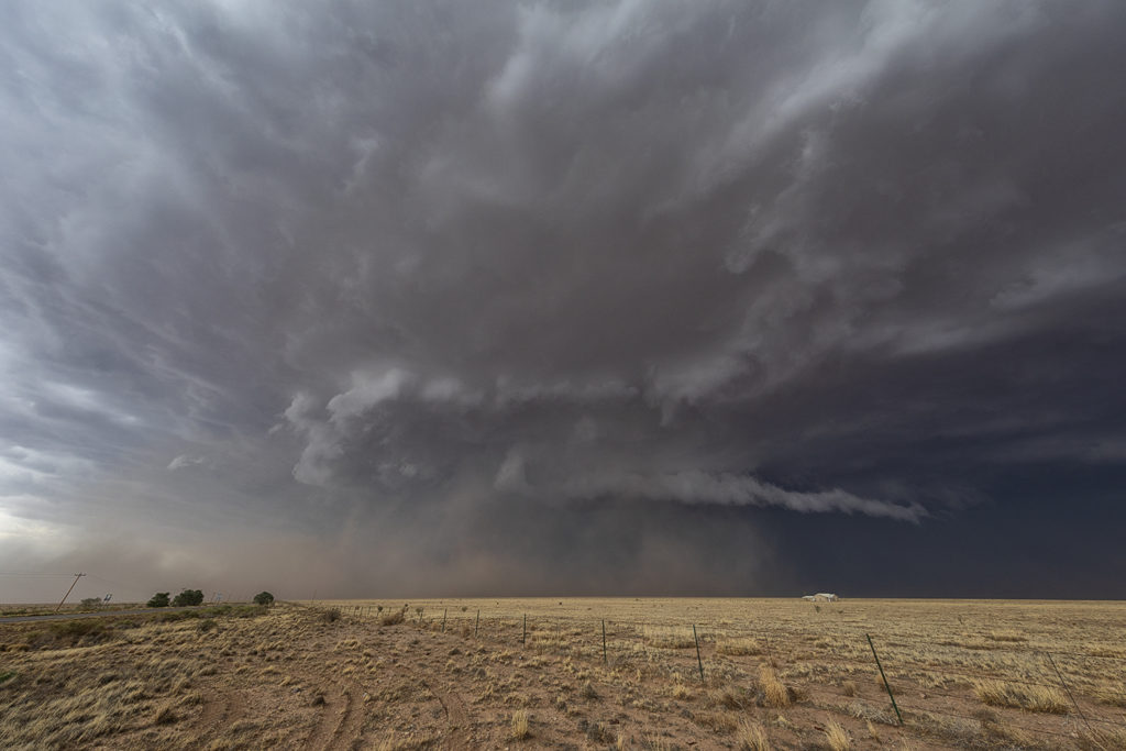
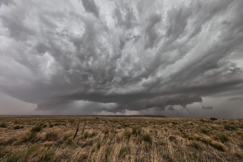
June 23rd we chose to chase the Texas panhandle were a stout dryline, good shear and instability were present. It was a long drive to make it there in time, but we did, intercepting 2 supercells, one near Happy and the other near Plainview. The latter supercell became tornado warned and had some interesting structure as well as great lightning, a couple gustnadoes, and a lot of mammatus clouds under the anvil. A lot of New Mexico smoke from wild fires covered the area and often gave the updrafts a yellowish tint to them. Cool coloring! A fun day and a couple really pretty supercells.
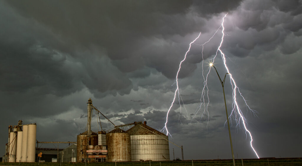
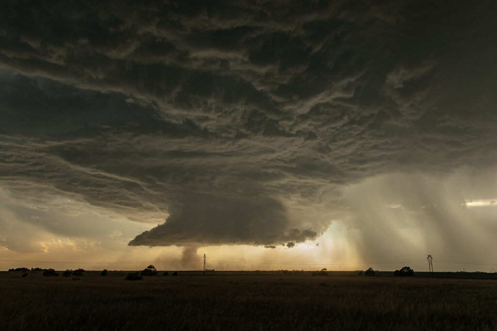
June 3rd Central New Mexico Tornado Warned Supercells
June 3rd was a strange day. Never, in 33 years of chasing storms have we chased a set up in the New Mexico mountains and Rio Grande valley like this day looked like. Decent moisture, good instability and shear, as well as lift along the central mountain chains would set the stage for supercells. As one intense storm rolled off the mountains it started spinning wildly. It had good structure and a strong gustnado on the leading edge of the RFD wrapping around the back of the storm. It also produced hail nearly baseball sized as it moved east. As it weakened, it’s outflow produced another storm that became tornado warned. It had classic supercell features and a very low hanging wall cloud that was rotating rapidly. Soon, precip and hail wrapped around the lowering and due to poor road networks we couldn’t get into the notch to see if it was producing anything. An hour later it lined out producing a nice shelf cloud. Quite a surprising day with 2 intense supercells in an area that is considered high desert and doesn’t get much rainfall each year.