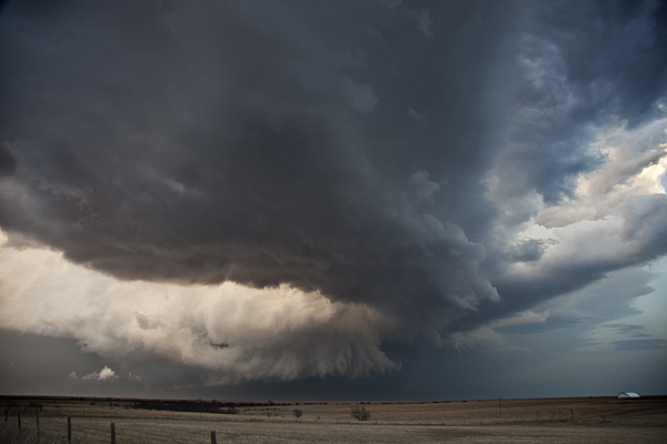
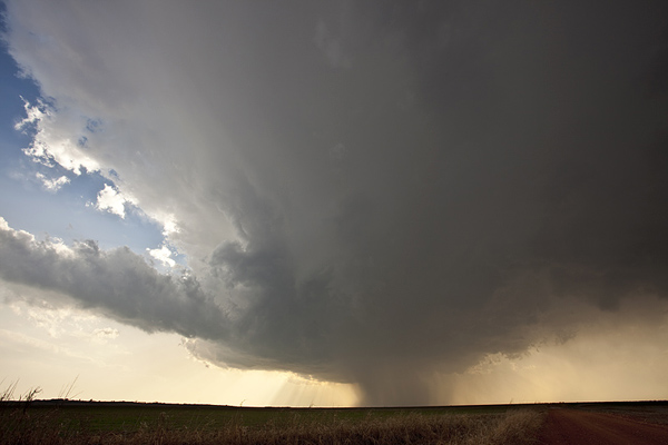
I couldn’t resist the first chase of the year. A strong, but shearing short wave was forecast to emerge into western Texas/Oklahoma, and race east northeast. A lee cyclone was developing in southeast Colorado and was forecast to move eastward along the warm front. A strong dryline was moving east into Oklahoma and would be the culprit in developing the lone warm sector supercell west of Pond Creek by mid afternoon. We intercepted this storm in its formation stages and virtually had the storm to ourselves early in its life. As it moved into a moistening environment along the warm front it eventually became a nice supercell that rode and occasionally went north of the boundary. Finally, just northeast of Newkirk, OK, the storm produced a tornado, albeit fairly short lived. The storm had pretty structure through most of its life cycle.


