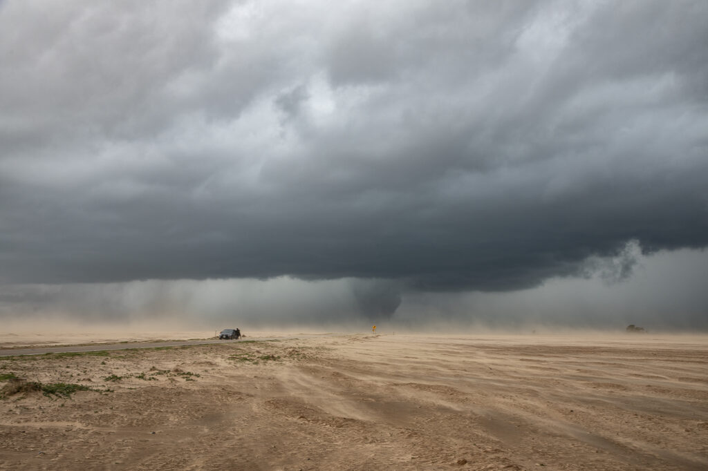
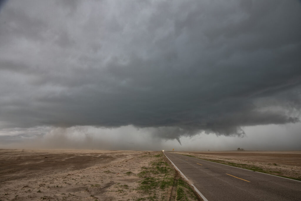
June 13th took us to the northern Texas Panhandle for supercells. By mid afternoon, storms for along the TX/OK panhandle border area near Boise City, OK. These storms moved slowly southeast and became supercells. Hail and high winds were the common theme with these storms, then southwest of Guymon, OK one became tornado warned. It didn’t produce but certainly tried as a funnel descended halfway to the ground. Never could confirm if it touched down or not. As the storm moved further southeast towards Stratford it did produce a small cone for a couple minutes. We were blocked by the police from getting close, so we had to drop south and east to get ahead of it. It was constantly tornado warned but had that outflow dominant look to it. We eventually stayed ahead of it to McLean, Texas and let it pass overhead. It produced giant hail 5 inches in diameter, and you’ll see in the pics just how huge it was! Fun day, but wow there were some fake tornado reports!


