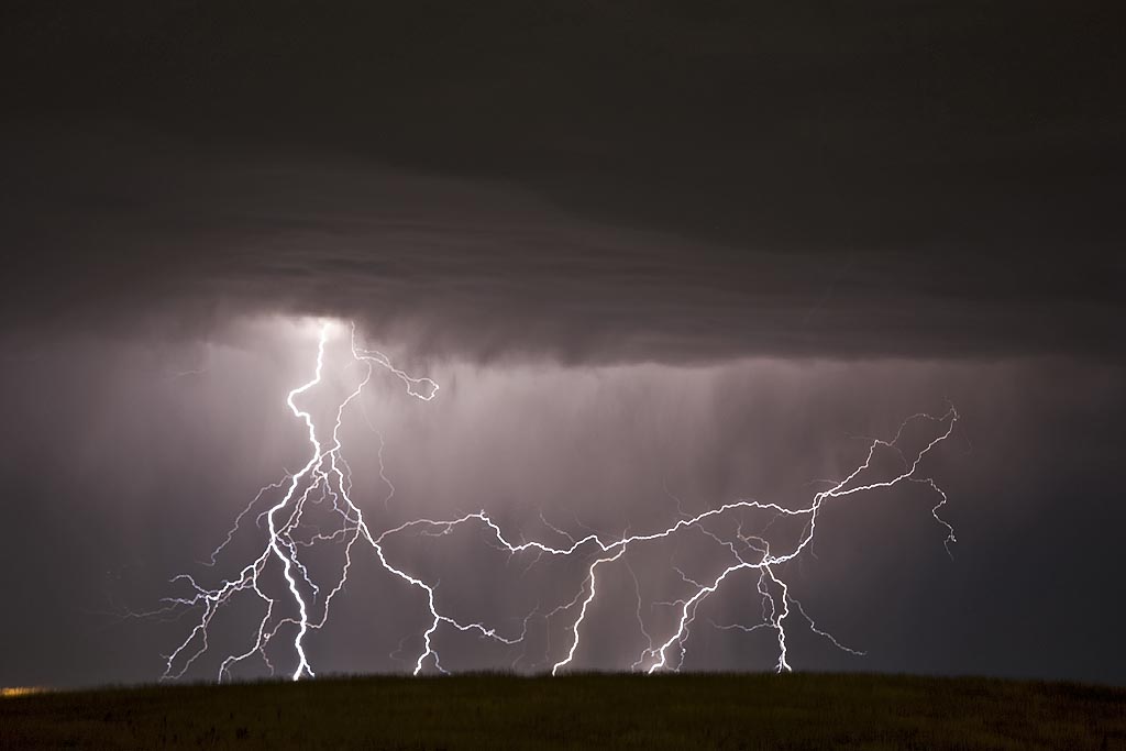
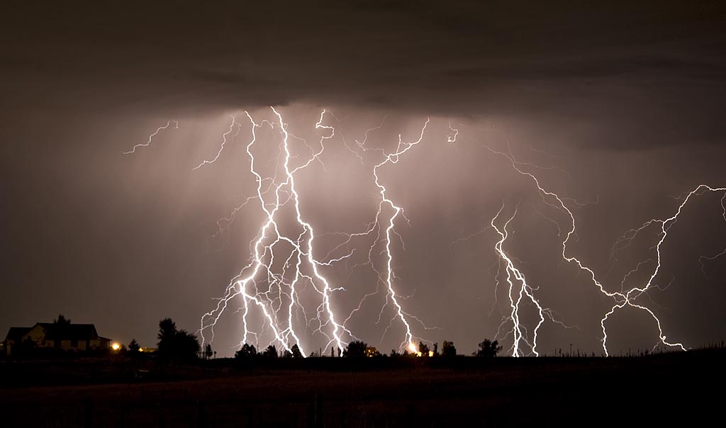
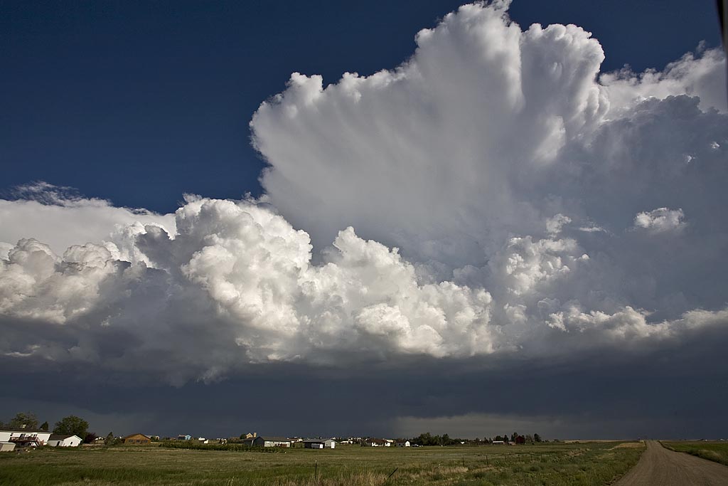
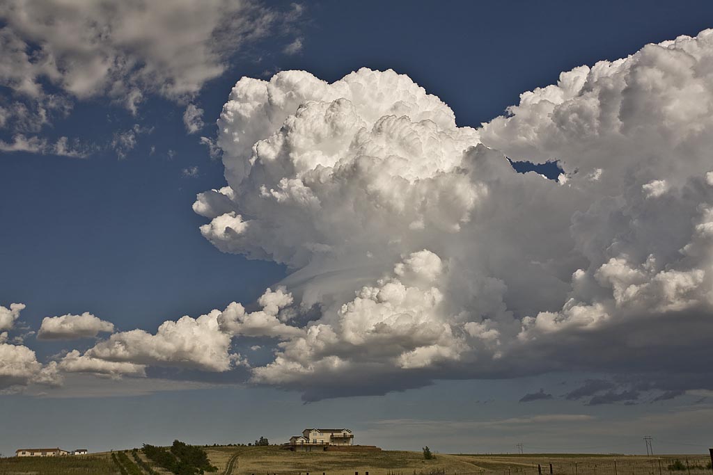
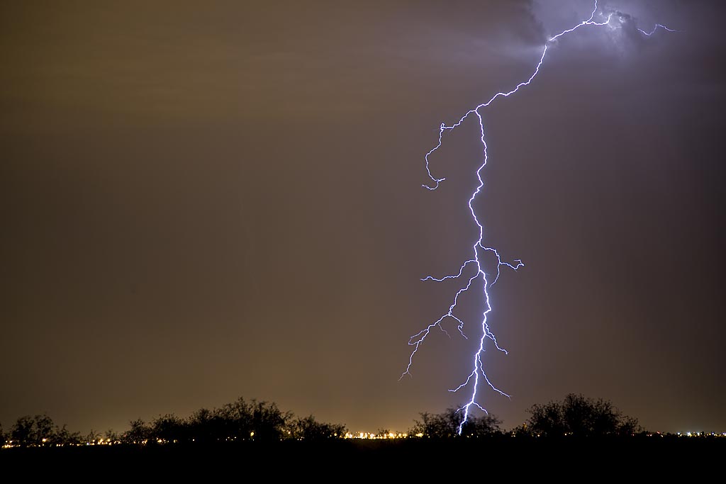
It isn’t often I get the pleasure of sitting on my back porch and filming a electrical display such as occurred on August 26th. Caryn enjoyed the hot tub, while I was shooting picture after picture. A very fun and enjoyable evening!!
August 24th and 25th, 2008 DCVZ Storms and Landspout
August 24th and 25th featured a classic high CAPE/low shear with the Denver Convergence Vorticity Zone (DCVZ) boundary quite active. Both days events would cause the NWS Denver/Boulder to issue tornado warnings along the boundary with a half dozen landspouts reports. My wife Caryn and I would capture one landspout southwest of our house thanks to her keen eyes. Second day, no tornadoes were reported, but severe storms still occurred.
August 11th through 17th, 2008 Colorado Storms
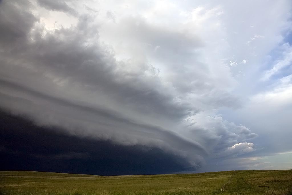
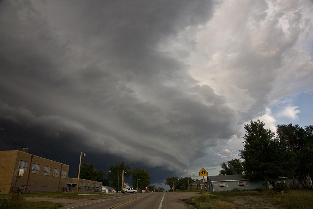
Over a several day period, severe storms developed over eastern Colorado and western Nebraska. I was able to chase several days. Decent upslope flow, along with fair moisture, instability and shear would allow for organized storms, including supercells to develop. The results of my chases during this time are shown below. Everyday, I was on a storm that had a tornado warning.
July 25 through August 3rd, 2008 Arizona Monsoons
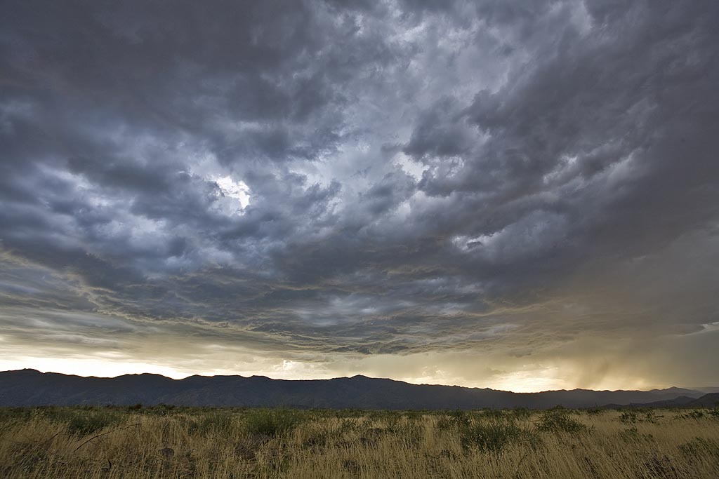
This was our annual Desert Thunder tour for Silver Lining Tours, and it did not disappoint. Several days, we had intense storms developing off the mountains and moving over the lower deserts, providing wonderful electrical displays.


