
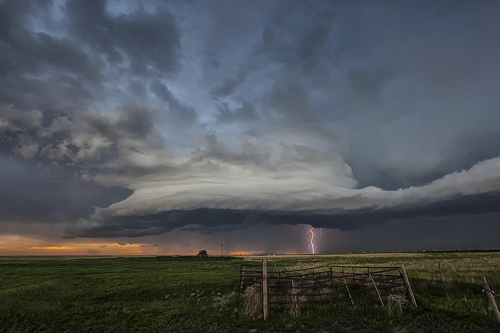
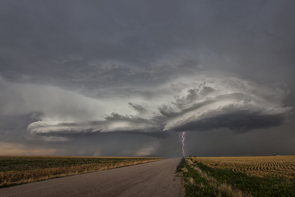
June 27, 2014 – Southwest Kansas Supercell and Landspout Tornado
June 27th had decent potential with a dryline extending along the Kansas/Colorado border, with moisture pooling east of it. Moisture however never did get very deep and the result was large temperature and dewpoint spreads resulting in high cloud bases. However with steep lapse rates in place and developing storms along the boundary, a decent supercell formed with a weak landspout in its initial stages. We got what we figured we would with this set up and everyone was excited with the results!
No comments yet.