2007

October 5-7th, 2007 Taipei, Taiwan Super Typhoon Krosa

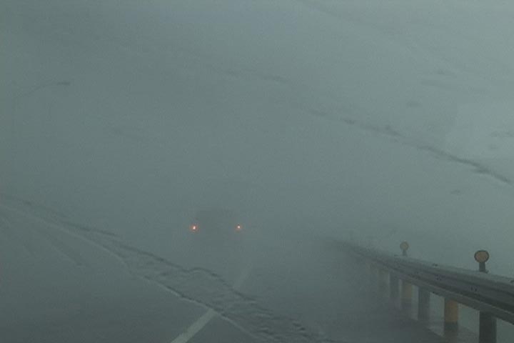
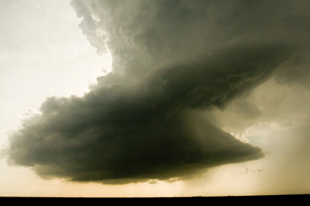
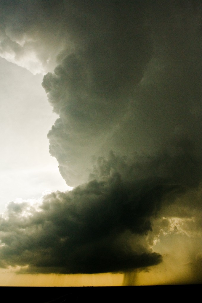
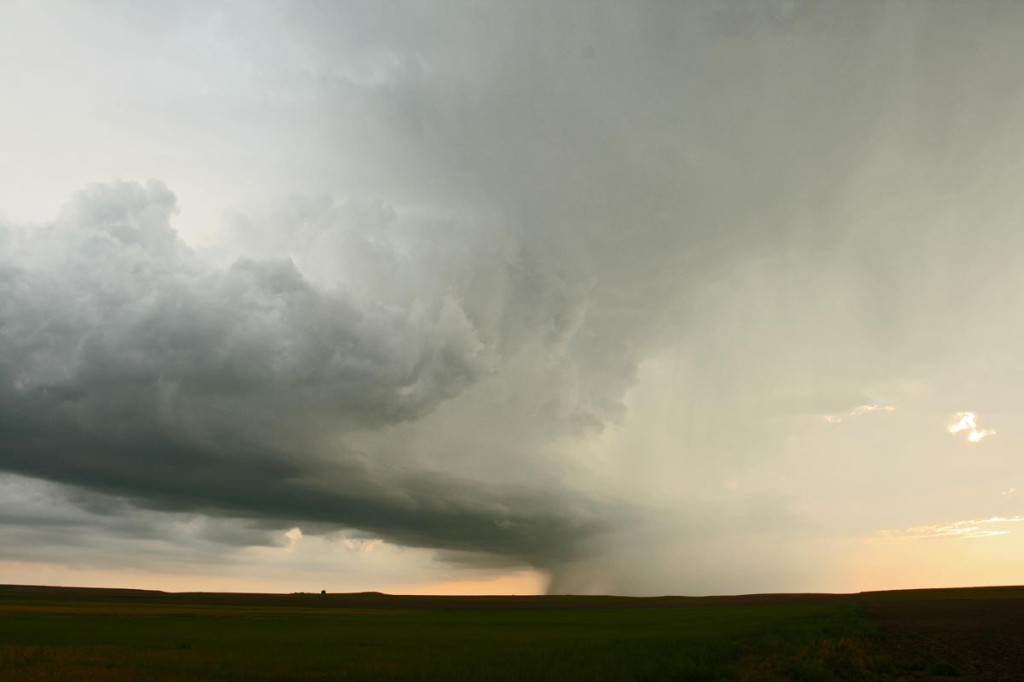
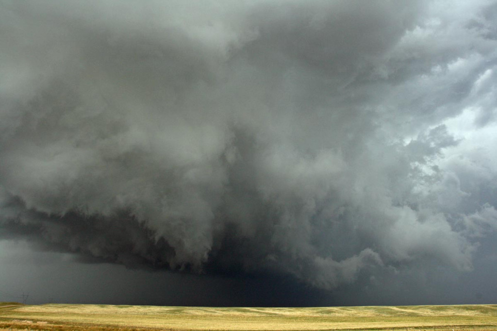
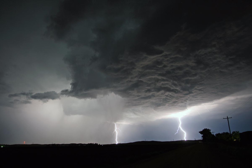
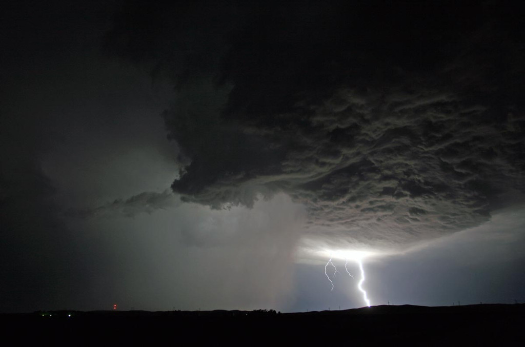
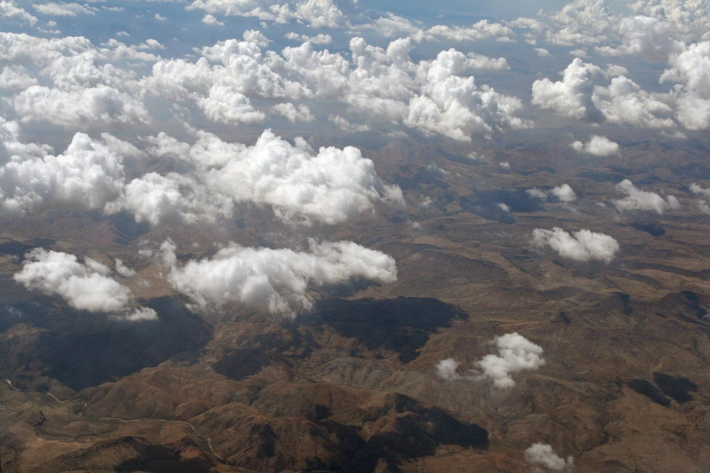
After much deliberation, my friend Stuart Robinson from England and I headed to the far east to chase our first typhoon, Super Typhoon Krosa (which means “crane”). All indications were that it would make landfall as a Category 4 storm, somewhere near Taiwan. We jumped on our planes and flew there to get into place before flights were cancelled. As I flew into Taiwan, we flew over the northern portion of the typhoon. It was a bumpy flight I’ll not soon forget!

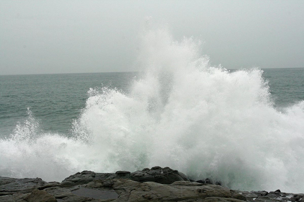
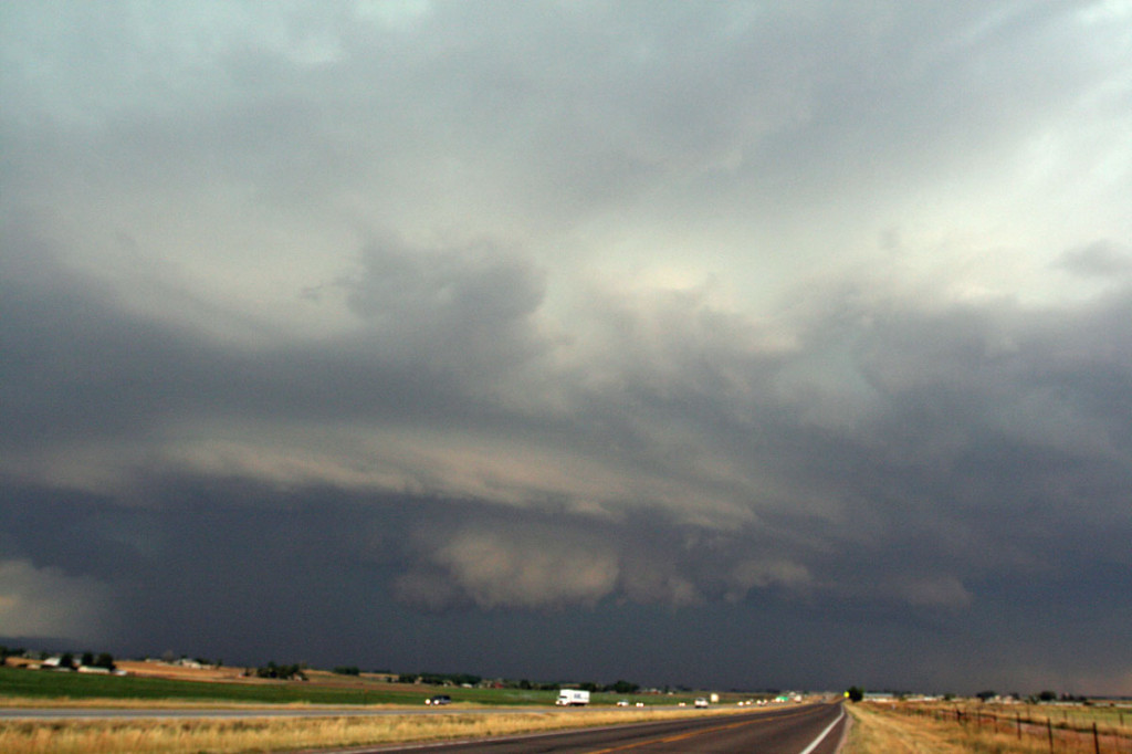
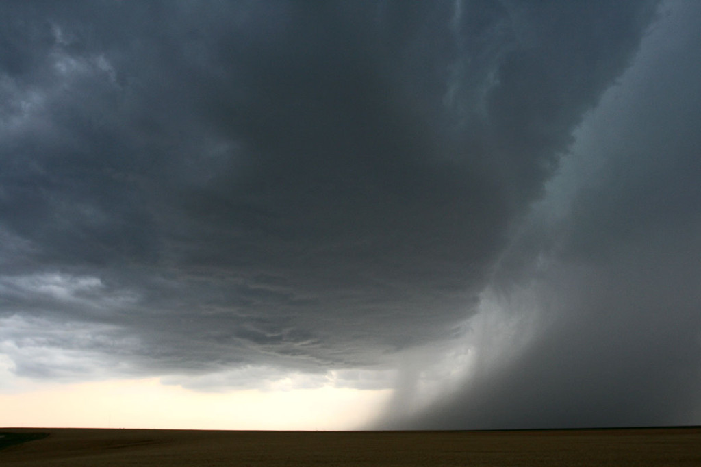
Our plan was to head to the eastern coast and get into the northern eyewall and then the eye as it made landfall. On the morning of the 6th, we did just that. Unfortunately as the typhoon made landfall, it was deflected south, the back out to sea and then across the northern tip of Taiwan. The deflection took its toll on the typhoon. We had winds up to 120 MPH gust, sustained in the 95-100 MPH range. A serious weakening indeed. Nonetheless, it was an experience I will not soon forget. Taiwan is a beautiful island off the coast of China with a grand history and beautiful scenery. They escaped a potentially serious storm with only crop and ag damage, with some damage to buildings and power lines.

April 23, 2007 Texas Panhandle LP Storm

April 23rd was a very disappointing day for me. I had two targets, one in southwest Kansas and the other in the Texas panhandle. I chose the wrong one, the Texas panhandle. A nice rotating storm that was tornado warned developed south of Amarillo and moved northeast. What I failed to anaylize was that earlier convection spewed out cold air that was pulled into this storm, thus never allowing it to become as intense as it could have. It stayed in the LP state for its entire life, while two other storms in western Kansas became tornadic. Just goes to show you that you win some and you lose some!

September 6th, 2007 South Central Nebraska Supercell

Good shear, great moisture and instability, and a boundary would set the stage for severe storms in Nebraska September 6th. I headed out to my target of Lexington, NE and arrived by mid afternoon. Cells tried and tried to form, each time getting choked by the cap. Finally early evening, several supercells formed. The storm shown above was tornado warned and at times ther appeared to be funnels back in the notch of this HP. One time a cone shaped funnel extended halfway to the ground, but I could not confirm any tornadic touchdown. We did encounter hail golfball size with this activity.

August 23rd, 2007 Colorado Supercells

August 23rd featured decent shear with upslope surface winds in Colorado and 35 knots mid level flow. My plan was to play the Palmer Divide and then follow storms as the built southeast. Morning stratus hindered surface heating. Cells developed in a cool surface environment where intense shear was coupled with good moisture but limited instability. Two supercells formed that I chased, both producing large hail. The first supercell was also tornado warned.

August 22nd, 2007 Wyoming Supercells

August 22nd was a day that showed promise. Two plays existed. You could either play the upslope where better shear was present in southeast Wyoming, or you played the front where better instability and moisture existed. I chose the upslope being much closer to home. By early afternoon, I headed out to play cells that were developing in the upslope regime along the Laramie Range. The first cell was a classic supercell, with rotation and golf ball size hail. Low level shear just wasn’t strong enough to produce a tornado. Late afternoon, another cell emerged out of a line and developed pretty structure. It was also severe with golf ball size hail. Scariest thing occurred as I was southwest of Kimball, out of my van and filming the second storm. While taking still photos a bolt of lightning hit a telephone pole about 500 feet away from me and literally jolted me. One of the closest experiences I have had!

August 14th, 2007 Southwest Nebraska Supercells

August 14th was a day that I was hoping would provide for a great nighttime lightning opportunity. A short wave was timed so that intense thunderstorm development would occur during the early evening. I was not disappointed. Great moisture and instability would couple with lift along a stationary boundary to provide intense supercell thunderstorms. The storm pictured here produced golfball sized hail, 75 MPH winds and two funnel clouds that I saw.

August 7th, 2007 Colorado Severe Storms

August 7th was a set up where there was little shear, but good moisture and instability. Flow was weak, but enough to push storms that developed off the mountains eastward onto the plains. A line of storms developed from outflow boundaries originating with the mountain storms. These storms congealed into a wind machine as the marched across eastern Colorado into western Kansas. They produced marginal hail, winds to 75 mph, and awesome lightning.

July 29-August 6th, 2007 Colorado Pulse Storms

The first week of August brought good monsoon moisture to Colorado. Good instability, reasonable dewpoints, but weak flow aloft , would cause intense pulse type storms to develop, some severe with large hail and high winds throughout the eastern plains of Colorado. Due to the higher bases on these storms, gorgeous lightning displays filled the skies after dark.

July 21st – 26th, 2007 Tucson, Arizona Monsoon Trip

What a fun week this turned out to be! Our tour company, Silver Lining Tours, is going to operate a new tour called Desert Thunder in 2008. So, my wife Caryn and I, along with our good friend Alister Chapman headed to Tucson to film the monsoon storms. We were NOT disappointed! During an active monsoon, as this was, storms formed daily off the higher terrain east of south of Tucson, then propagated and rebuilt on thunderstorm outflow winds, on the desert flatlands. These storms a extremely photogenic, producing intense lighting, haboobs (dirt storms, some QUITE dangerous as you will see below), and flash flooding. This turned out to be one of my favorite NON-tornadic ventures of the year.

July 11th and 12th, 2007 Colorado Supercells

July 11th and 12th provided Colorado some much needed moisture, but also some very large hail. Many areas in northeast Colorado experienced crop devastation due to copious amounts of golfball and larger sized hail during this time period. Moderate northwest flow aloft, with upslope southeasterly surface winds would create decent wind shear, while moderate instability would develop. On July 11, storms formed along a convergence boundary over east central Colorado and became severe, taking on relatively high based supercell features. I caught one such beast just north of Limon that produced 1.5″ diameter hail. On July 12th, I wasn’t going to chase, but storms forming along a boundary over southeast Wyoming, and dropping into northeast Colorado, would give me a great reason to chase. I encountered hail to golfball sized north of Ft Collins along I-25 as the storm was rotating quite nicely, even in the lowest levels. Despite a tornado warning for that area, no tornado was confirmed. Although it certainly tried!