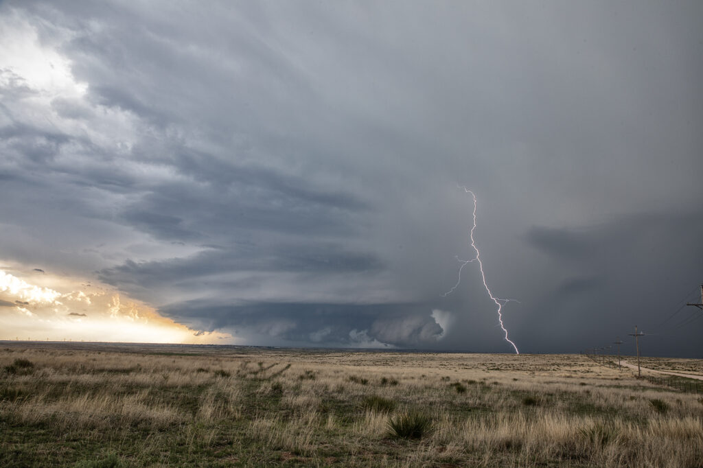
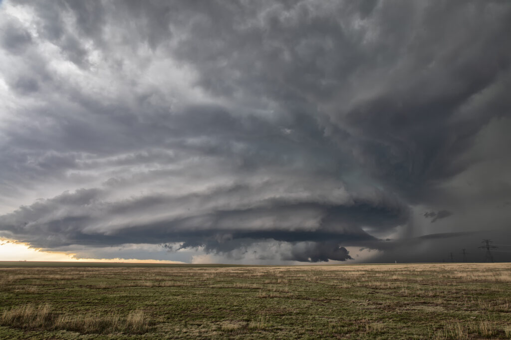
May 18th featured a short wave trough moving into the Texas panhandle. It also had a dryline extending along I-27 south and north of Amarillo. Storms started forming mid afternoon along the dryline. Although they couldn’s sustain themselves and eventually died off, they did produce some severe weather. Late afternoon a cluster of storms formed northwest of Amarillo. Due to weaker wind shear, we hoped something would emerge from the cluster due to storm interactions. It certainly did! A supercell emerged west of Chunky, TX and drifted slowly east. It tried to produce a tornado a few times, and was tornado warned. It could never keep a rotation couplet tight enough to produce one. The storm produced baseball sized hail and had very pretty structure. Whenever you get that stack of plates look, you know it is a special storm! Moving very slowly east, it kept it’s intensity for several hours before finally decaying mid evening. A great day and a fun chase! Enjoy the pics!


