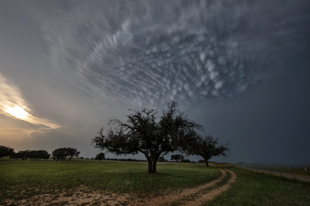
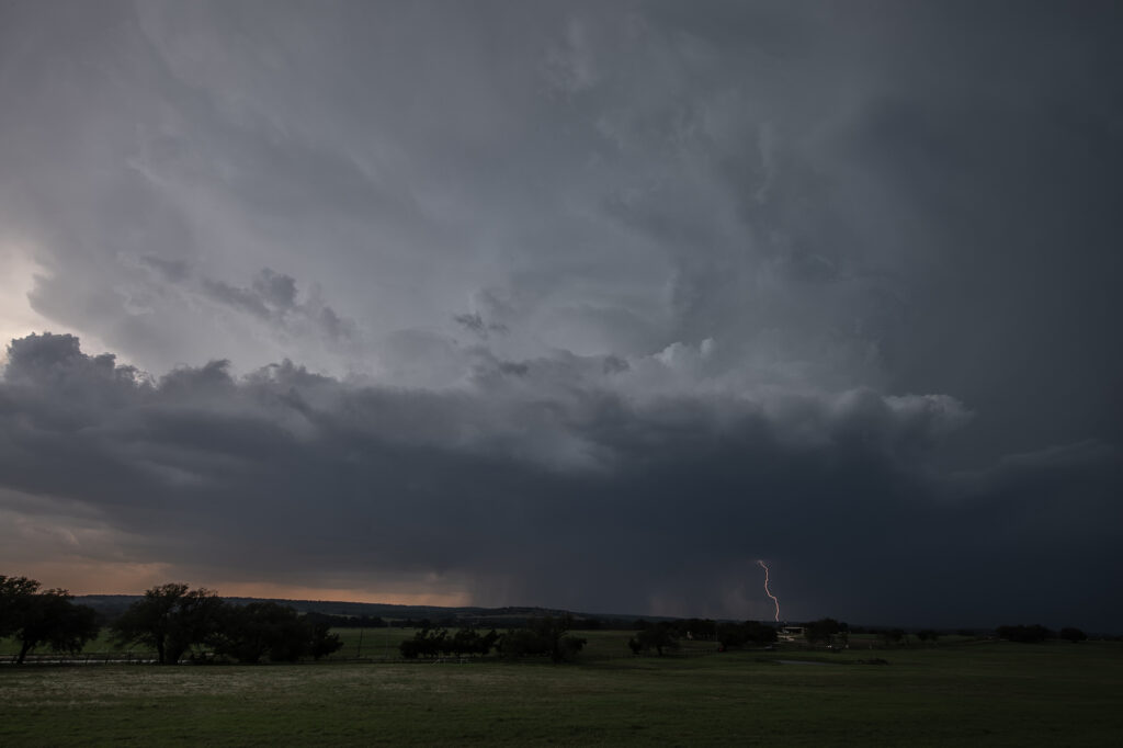
May 5th brought deep moisture into central Texas, along with moderate instability and decent wind shear. Storms formed west of Hamilton and moved southeast. One storm right turned as it started spinning and moved all the way to the north side of Austin before weakening. It had good structure, monster sized hail and was very electrified. It produced stunning mammatus clouds as well. The rotation buried well back in the core was very strong, and it may have produced a tornado that would have been not visible due to the heavy precipitation. Nonetheless, it was a treat to watch and enjoy!
May 4th Crowell, Texas Tornado Warned Supercell
May 4th was a strange day. A decent threat of severe storms and low end tornado potential existed. High based storms formed off the caprock by mid afternoon and moved east. Bases never lowered. Another couple of storms, eventually supercells, formed along a boundary a bit further east southwest of Crowell, TX. Within a few minutes a lowering formed and exhibited some rotation. As the storm moved east, a line of storms formed in front of it, thus limiting the quality of inflow air into the supercell. It caused it to slowly weaken over time. The storm produced baseball sized hail, high winds and was tornado warned for a couple of hours. It showed a fantastic hook echo on radar, but it just couldn’t sustain with cold inflow from storms ahead of it.
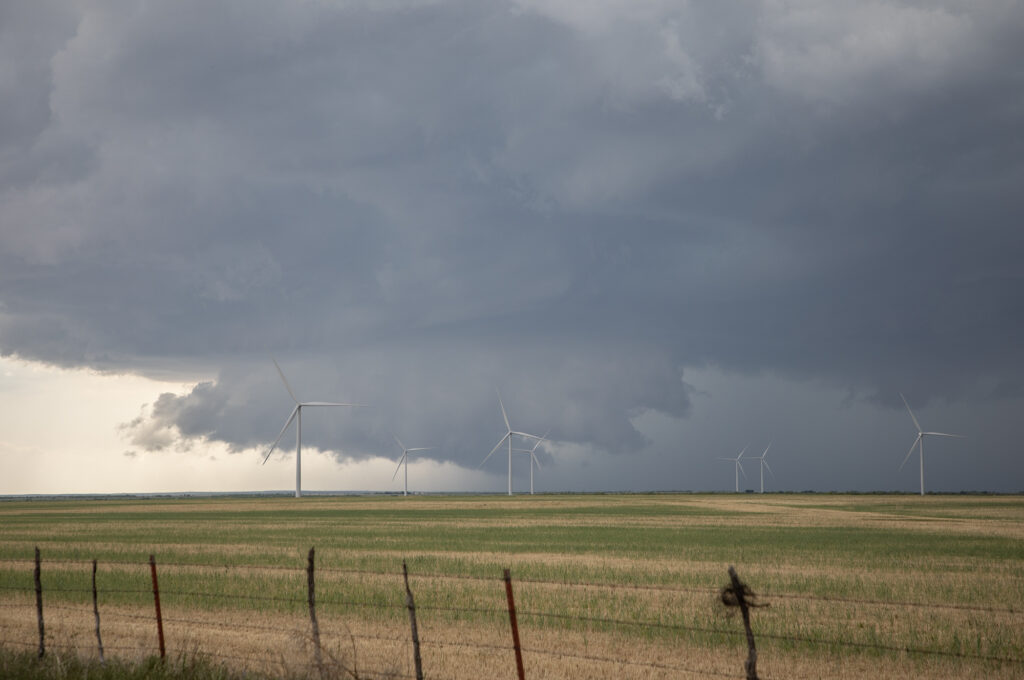
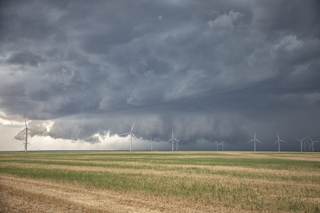
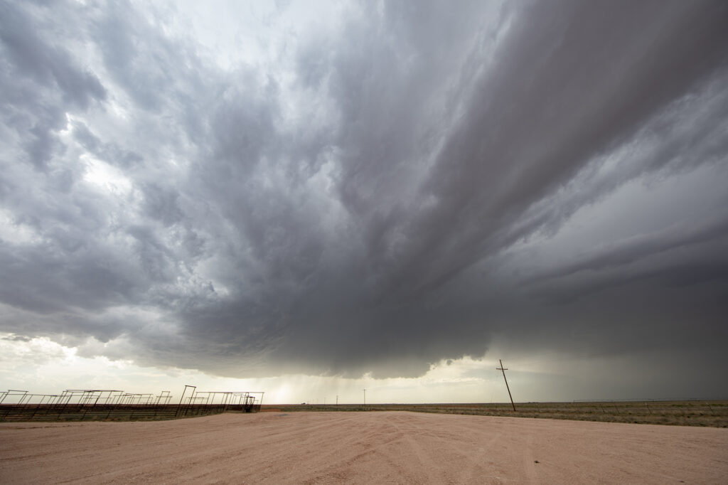
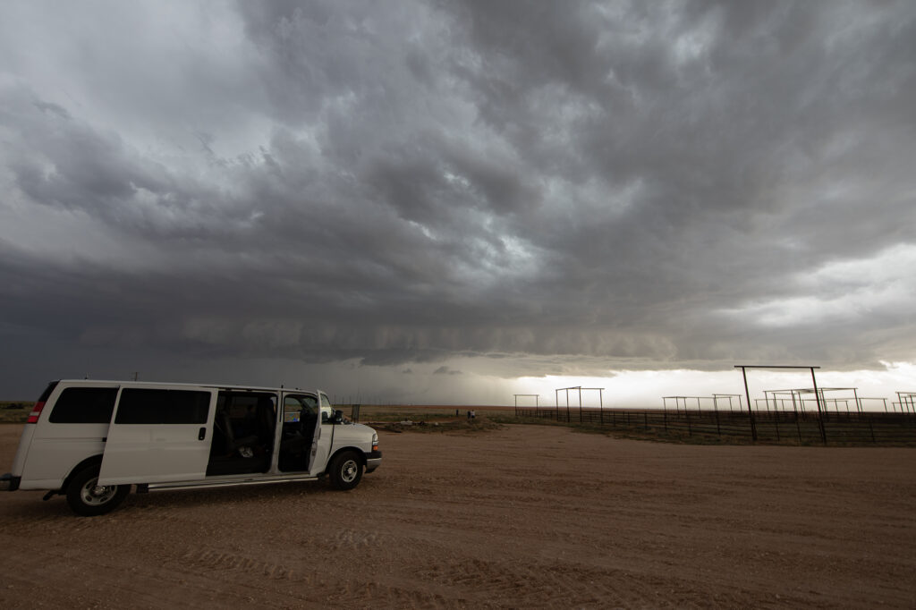
May 2nd West Texas Supercell
May 2nd wasn’t expected to be a big severe weather day. Limited moisture would cause storms to be higher based with little tornado threat. That’s exactly what happened. Mid afternoon, storms formed along the New Mexico border ad became severe. They produced hail golfball size and high winds. Lightning was pretty after sunset as well. A fun day on a day we didn’t expect anything substantial to happen.