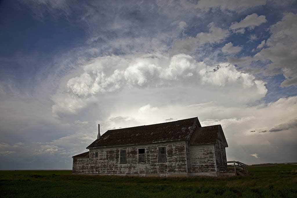
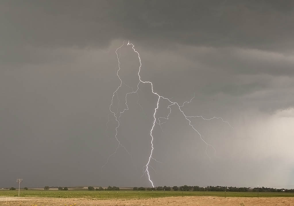
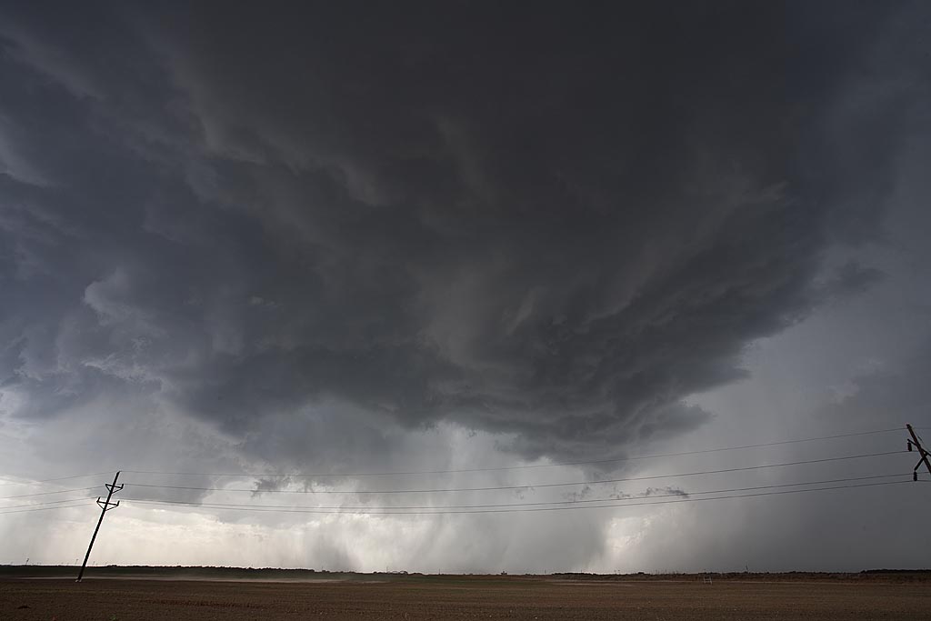
From mid through late May, nature did not cooperate with an active severe weather pattern. A large ridge of high pressure, along with a persistent gulf coastal frontal boundary would prevent decent moisture from returning to the plains states. When you operate a tour, you still have to find the little nuggets nature gives you. The pictures below are those nuggets from May 19 through 31st.
May 13, 2009 Kay County, Oklahoma Tornado
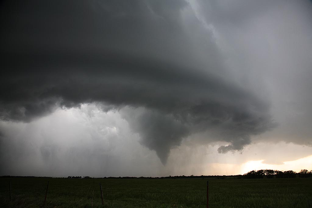
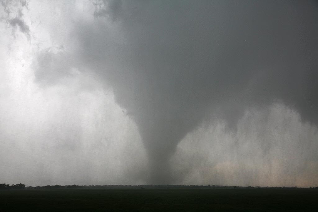
May 13th took us to the Kansas/Oklahoma border. Our initial target was north central Missouri but due to a late night in northwest Texas, it wasn’t going to happen. We positioned ourselves north of near Blackwell and watched as numerous cells developed on the front until finally a decent supercell formed just to our west. It quickly started rotating and produced a very nice tornado that was on the ground for over 15 minutes. Please click on the video link for a neat 2 minute video and click on the photos for a larger image of this very pretty and well structured tornado.
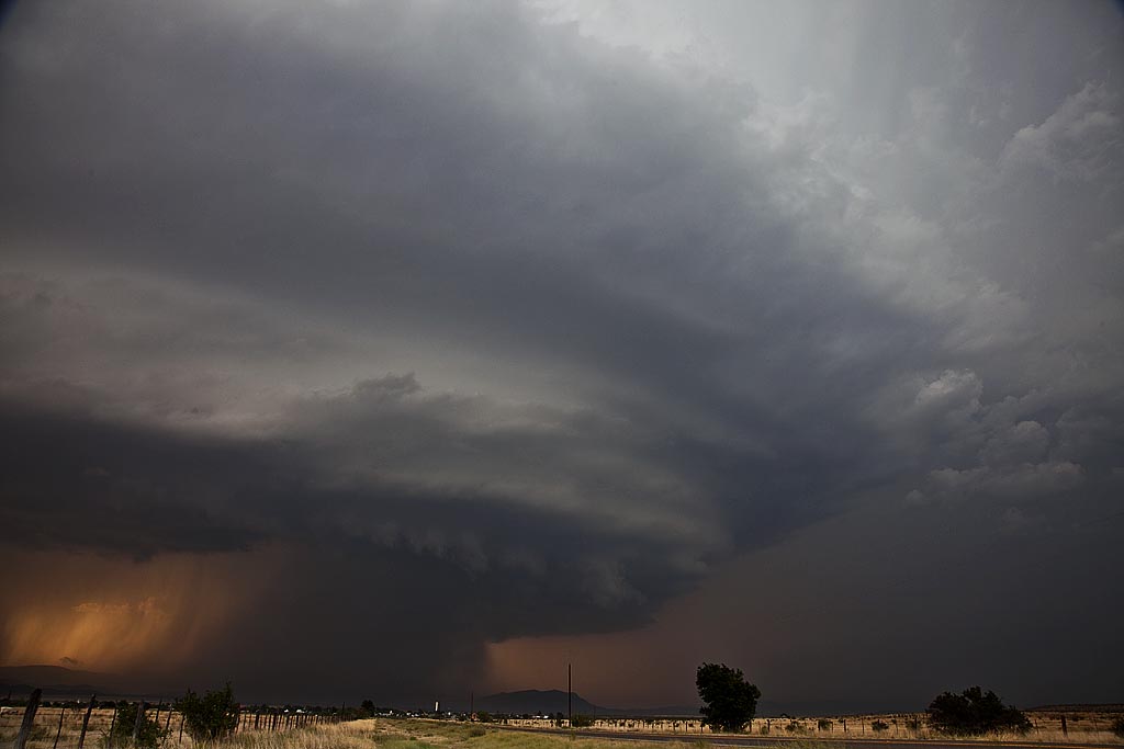
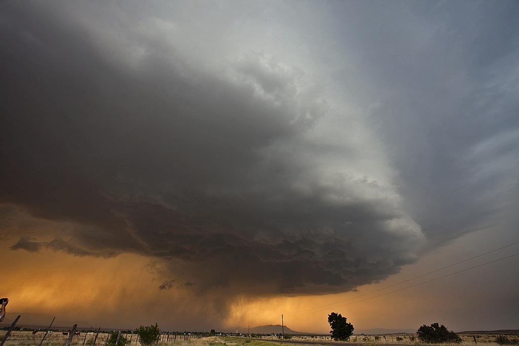
May 10, 2009 Marathon, Texas Beautiful Supercell
May 10th I wasn’t expecting much at all. High temp/dewpoint spreads, weak surface flow as well as 500 MB flow, and a fairly stout cap, would leave me skeptical about any decent storms. However, nature would have the last laugh as she provided us with a spectacularly structured supercell off the Davis Mountains in southwest Texas. High based storms first formed and became severe along the north and eastern parts of the mountains, with one cell becoming a beastly storm. It tracked east, then south towards Marathon and eventually into the Big Bend region. This storm would also produce copious amounts of hail near Marathon.
May 5, 2009 Strawn, Texas Damaging Hailstorm
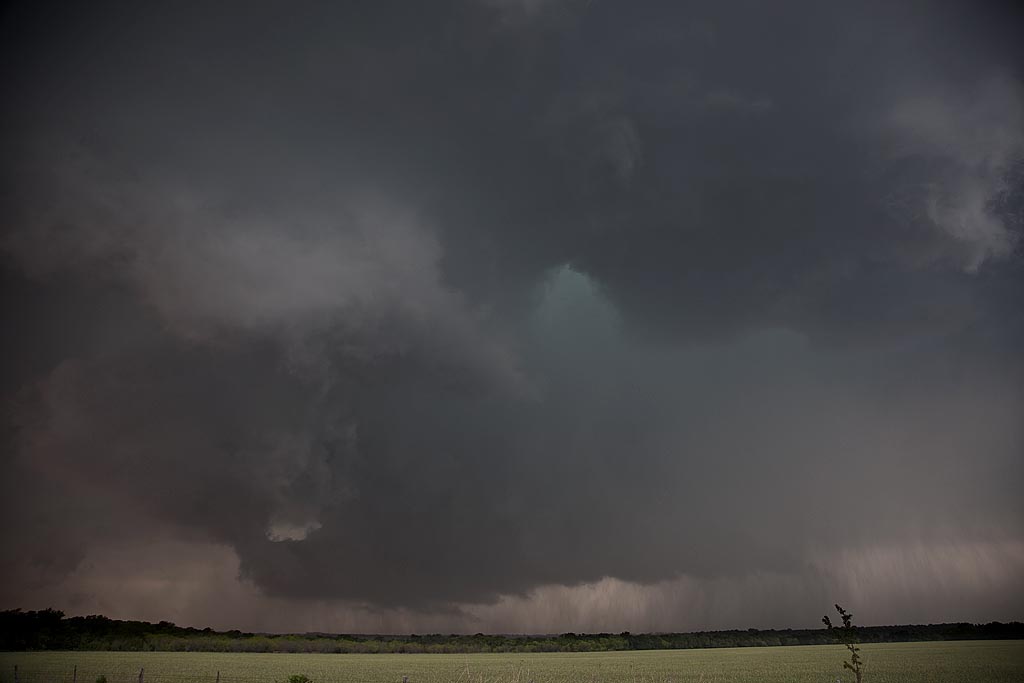
May 5th took us to northwest Texas to play a volatile boundary with high CAPE and moisture, but limited low level shear. A supercell formed along a boundary near Breckenridge, Texas and exploded as it tracked slowly southeast. It spun wildly, tried to produce a tornado a few times, but ended up being a nicely structured supercell with gigantic hail. We destroyed our windshield in the storm near Strawn with softball sized hail being quite common. Click on the video link below for a wild hail video.
May 1, 2009 Stamford, Texas Supercells
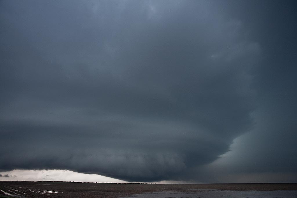
May 1st kept us in northern Texas playing a high CAPE/fairly low shear day. We had strongly deviant moving supercells with pretty structure, tornado warned but never did produce much, other than large hail, a funnel and heavy rain. Still, two very pretty structured supercells were observed.


