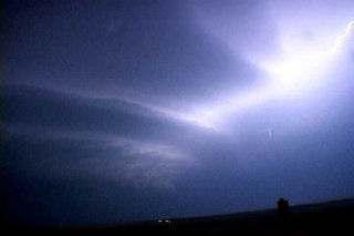
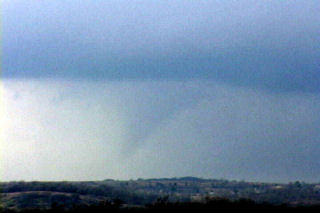
The weekend of March 20 and 21 shaped up to be an active period as a deep negative tilted trough developed and pushed south across the southern plains. I couldn’t resist the first chase of the year and I am glad I didn’t! Caryn, Colton and I left Sunday afternoon for what hoped to be elevated supercells in Kansas, then into Oklahoma for tornadic supercells the following day. The atmosphere did not disappoint. An elevated supercell produced copious amounts of CG and hail near Rush Center, Kansas during the evening of the 20th. On the 21st we targeted the area just east of Oklahoma City. By mid afternoon an awesome supercell developed and produced 4 confirmed tornadoes, 3 of which we captured on video. The first tornadic circulation developed almost overhead and developed a nice funnel followed by a debris cloud less than 200 yards from the van. The second tornado was a nice multivortex tornado that lasted about 5 minutes. The 3rd was a small rope tornado that we weren’t able to capture on video. The last tornado, was a LARGE cone, that we tried desperately to catch but just couldn’t due to road options.


