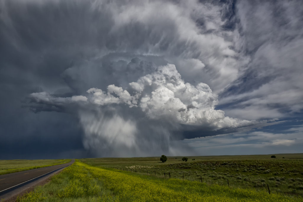
June 25th had a lot going for it. Strong shear, good moisture and increasing instability were present, as well as a nice boundary along the Black Hills Convergence Zone (BHCZ). Initially storms formed in the drier, well mixed air off the Big Horn mountains in north central Wyoming. These cells moved east with one storm in particular taking over and becoming a pretty high based supercell. We stayed on the back side of it east of Wright and watched it race off into the southern Black Hills.
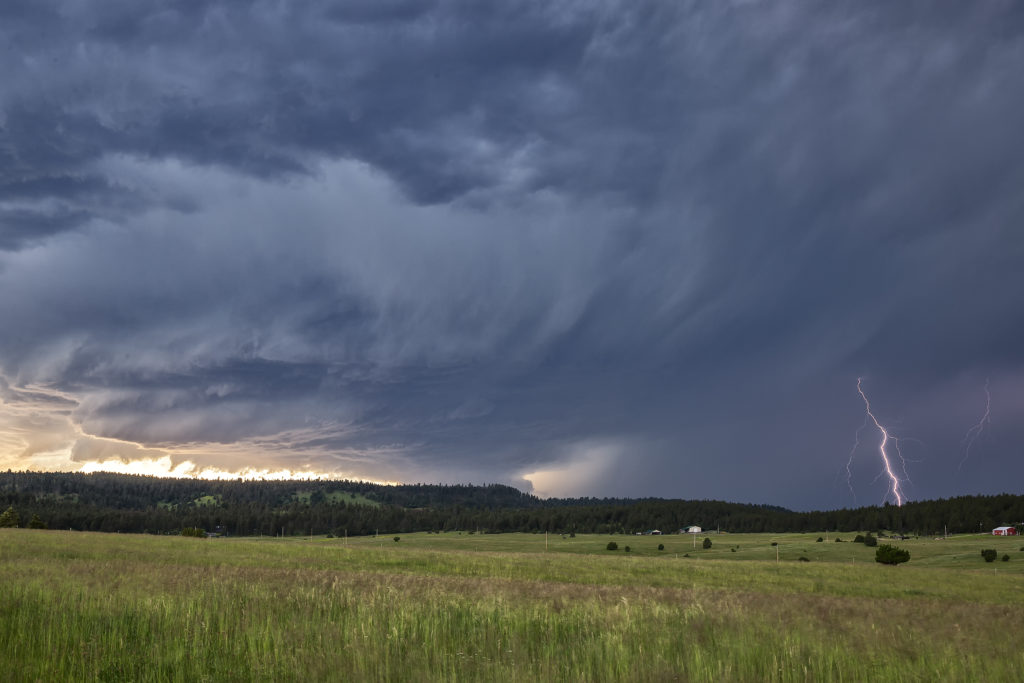
I had a hunch that more storms would form along the boundary, and due to good moisture, these cells would not be so high based. A few storms formed south of Broadus, Montana and moved southeast along the boundary. The tail end cell, as usual, took over and became a very formidable supercell. As this storm approached the area just north of Hulett, twin EF1 tornadoes formed (Per NWS damage survey). We could briefly get a visual of one of them. Structure was superb, and the lightning was very intense. As the storm approached us, we had to blast south to Hulett to get out of it’s way. It raced eastward and we had no way of staying up with it. Other storms also formed and became quite electrified. We stayed with this cluster through dusk when they weakened. Two pretty, but very different supercells from each other and two tornadoes. Indeed, a great chase day to kick off the SLT Photo Tour #3! Enjoy the pics!


