
May 29th Campo, Colorado Large Tornado
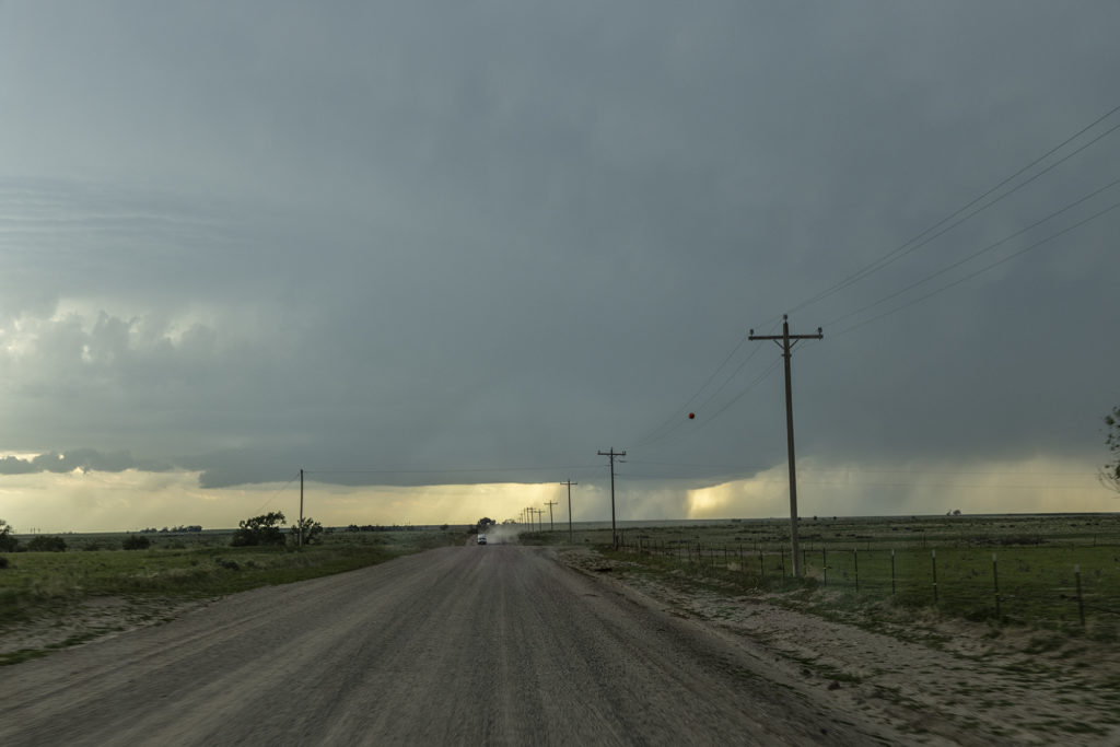
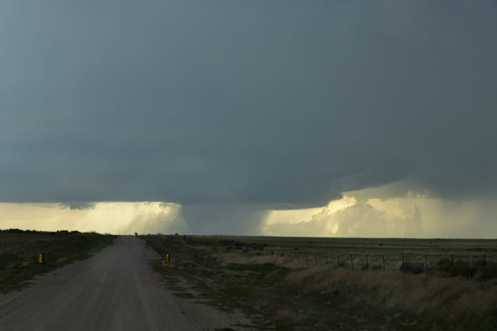
May 29th was a surprise day! It was our inbetween tours day with tour 5 guests arriving in Denver. With the potential set up in southeast Colorado, we decided to gather those who had arrived in Denver and blast south to the southeast corner of the state. Models showed a supercell developing on the Raton Mesa and slowly tracking towards the southeast through the evening hours. We were on the road and in our target late afternoon as a cluster of high based marginal severe storms formed as models showed. Great shear was in place but the only issue was a lack of moisture. Late afternoon as we arrived in the Campo area a tongue of higher dewpoints surged into the storms and the southern most storm became quite intense. The base lowered and soon a wall cloud formed. As rain and hail started descending and wrapping around the lowering a rather large cone shaped tornado formed and was on the ground for several minutes. Fortunately it was in open country and hit no towns and ranches! The storm drifted southeast as we went down a gravel road over the mesa. Unfortunately as we came around a corner a stone in the road penetrated one of our tires and blew it out. After we got the tire changed as fast as a NASCAR pit crew, we were back in business. We needed a quick exodus as hail the size of baseballs was falling from the supercell. We made it just east of Kenton, Oklahoma and watched this storm continue to crank away! Since we had to be back in Denver, we ended up leaving the storm mid evening to make our 4 hour journey back home. A great day and superb results! Enjoy the pics!
No comments yet.