Tag Archives | thunderstorms

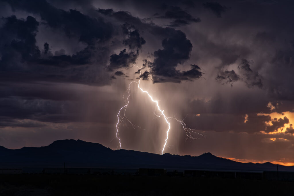
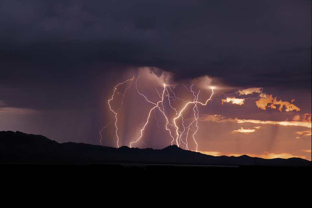
July 11-14, 2026 Arizona Severe Storms

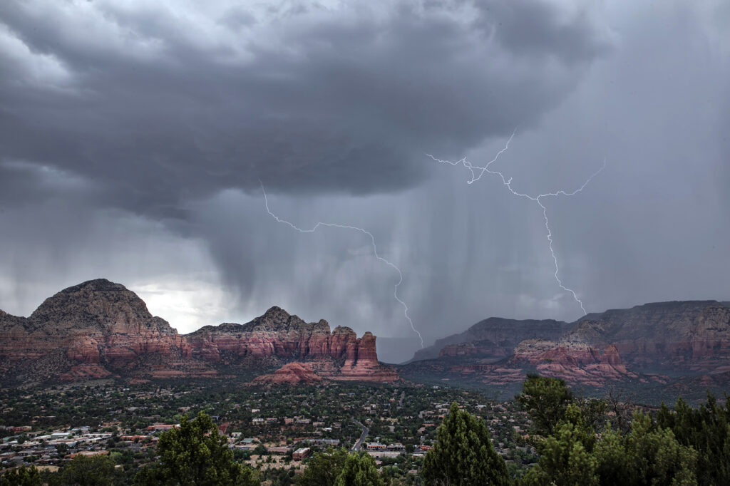
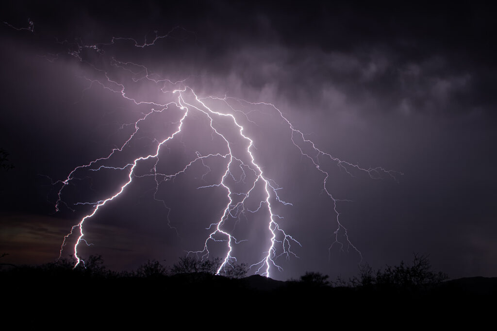
July 11-14, 2026 was our annual Great North Tornado Hunt tour. However, due to a sprawling ridge of high pressure which shut down northern plains chasing, we decided to take the tour to Arizona in search of severe monsoon thunderstorms. It did not disappoint!! We arrived early evening after a long days drive, only to find severe storms west of Tucson. We blasted out towards Kitt Peak as the sunset, just in time to catch the lightning show! Incredible cgs lit the sky for over an hour before weakening. On the 12th we encountered a cluster of severe storms near Sells, AZ that produced an amazing haboob! The wedge of blowing dirt was textbook! One of the best I’ve seen. On the 13th we needed to start our journey back to Denver, stopping for storms over Sedona, AZ. What a beautiful sight watching lightning striking the gorgeous red rock near town! We would have rather chased supercells and tornado in the northlands, but with the ridge in place it is always our motto to go where the weather takes us, regardless where that is! Enjoy the pics!
 

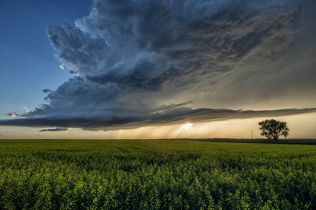
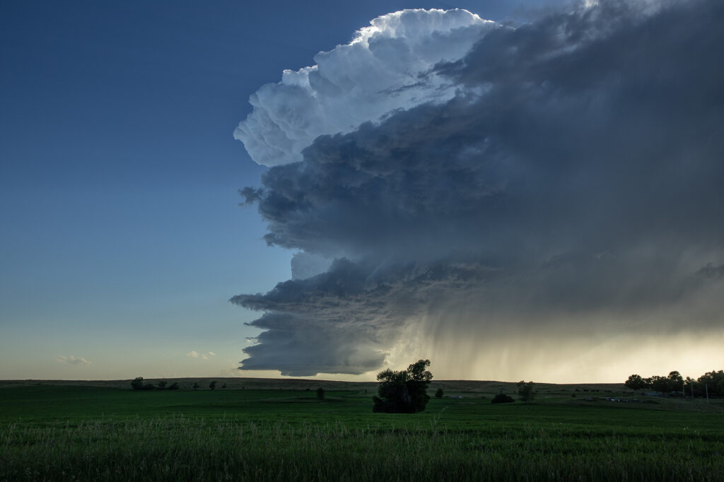
June 28, 2026 Bismarck, North Dakota Photogenic LP Supercell

June 28th took us to central North Dakota on a set up that didn’t look great. Sometimes nature loves to surprise and it certainly did this day! An updraft developed south of Bismarck and slowly drifted north. It was severe for golfball sized hail, but the best part was the low precipitation supercell structure. Sculpted structure eventually drifted over a nice ripening canola field east of town and was just gorgeous. The storm weakened at sunset, but not before giving us a parting beautiful view! Surprise day, but oh so pretty! Enjoy the pics!

August 2-8 Desert Thunder Tour Images!

Each year we conduct lightning tours in Arizona during monsoons. This year we were there the first week of August. Despite a far from favorable weather pattern nature provided some pretty storms with excellent lightning! We traveled over southeastern Arizona and occasionally into southwestern New Mexico on various days. However the majority of the time we spent in Cochise and Santa Cruz counties this year. Temperatures were extremely hot with daytime highs from 105-115. Moisture was on the marginal side with dewpoints in the upper 40s to mid 50s. However enough was available to generate some instability to produce these storms. Enjoy the pics!

June 6th White Sands, New Mexico Lightning

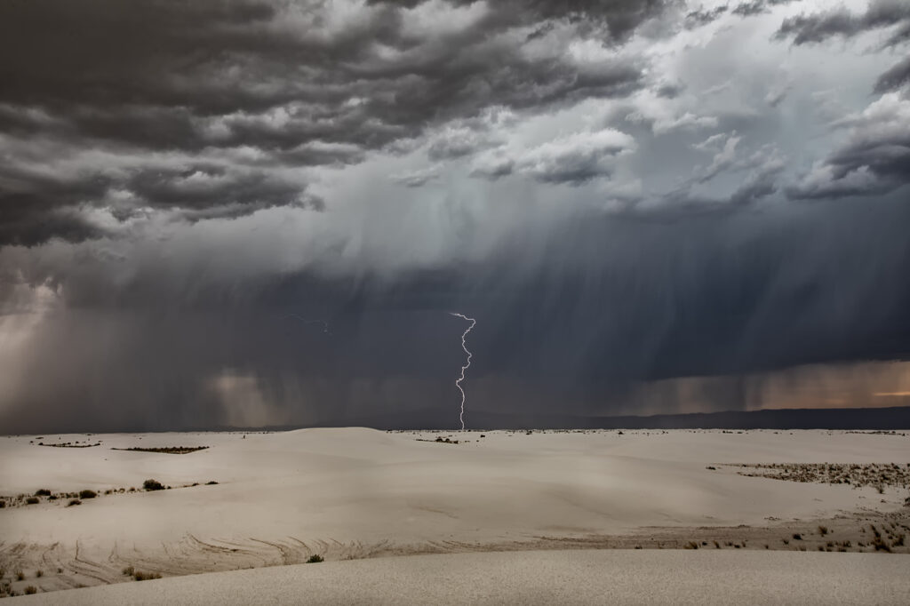
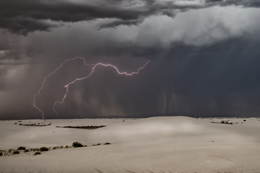
There wasn’t a lot of hope on June 6th, so we took the group to White Sands National Park in southern New Mexico for some general thunderstorm formation in hopes of catching some lightning over the dunes. Nature did not disappoint! We arrived to developing storms west of the park. A couple hours later, stormed were forming over the park as outflow from the western and southern storms moved into the area, lifting the air and generating storms, some severe! Nature is such an artist as several lightning strikes occurred over and near the park. A fun day and many of the guests had never been to White Sands. Needless to say, I bet they go back again! Enjoy the photos!

July 11th Northeast New Mexico Severe Storms

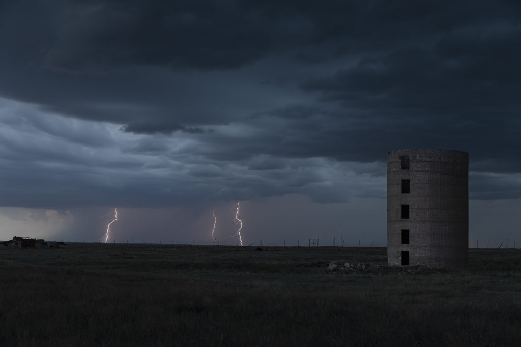
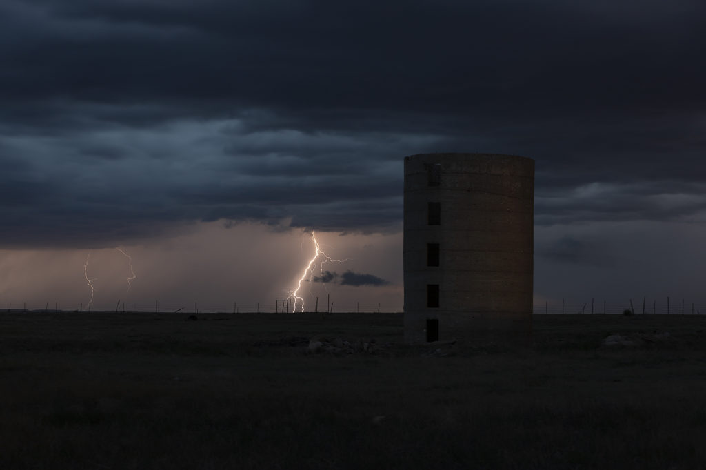
We weren’t expecting much this day. Modest moisture, CAPE and shear were present, thus we were hoping for a few pulse storms. Thunderstorms formed over the higher terrain of northeast New Mexico and collapsed. Their outflow pushed east and helped developed additional storms on the south side of the Raton Mesa. These storms congealed into a cluster of high wind producing severe storms in far eastern parts of the state and eventually moved into northwest Texas panhandle. Lightning was decent as well.

April 23rd Northwest Texas Tornado Outbreak

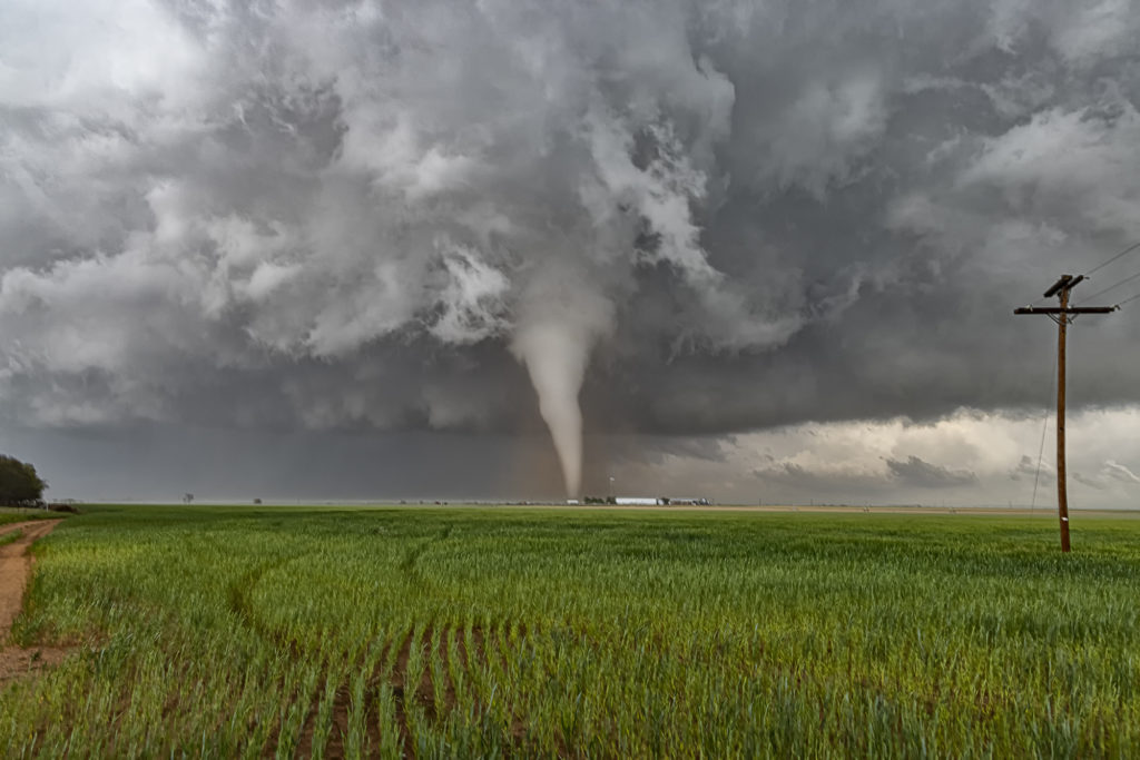
April 23rd kicked off our storm chasing tour season and what a way to start! After leaving Oklahoma City at noon, my target was the triple point somewhere near Childress, Texas. Mid afternoon, updrafts formed and quickly became severe and tornado warned. It tried on the first tornado warning to produce one, but shear just wasn’t quite right yet. Decent moisture for late April with mid 60s dewpoints, as well as 3000 CAPE was sufficient to get intense supercells to fire. I had a hunch this storm would be special
and we stuck with it the rest of the day.

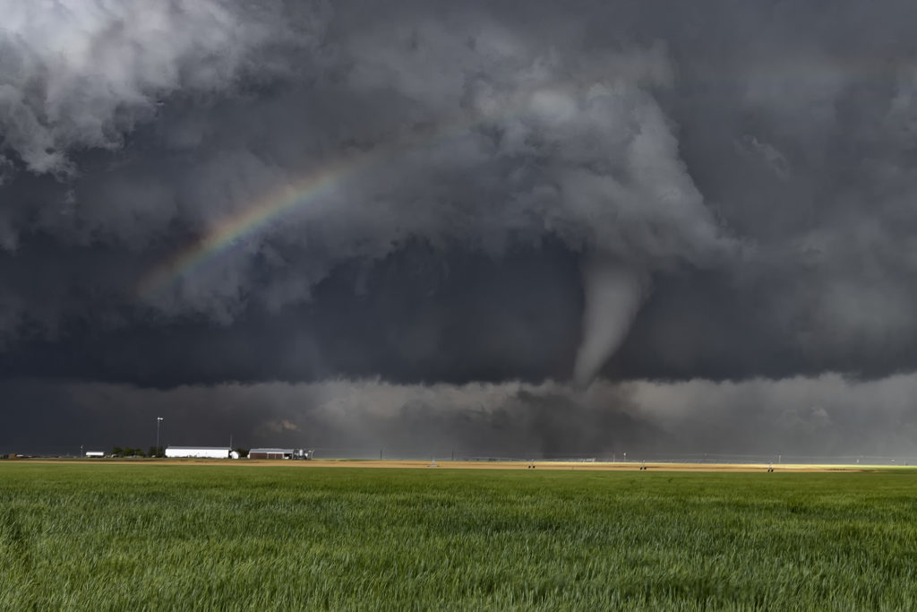
Between the bluebonnets in full bloom and the developing supercell, it made for an amazing scene. Soon, though, we we treated to an even more spectacular view, as our supercell latched onto the boundary and the low level jet cranked up causing it to produce 6 tornadoes in a little over an hour, while drifting very slowly eastward! A few of these, in the photos below were incredibly photogenic!! An amazing way to start Tour #1 and our season off! Please enjoy the images!!!!

Here are two cool videos form this day too!

June 6th Wyoming Severe Storms

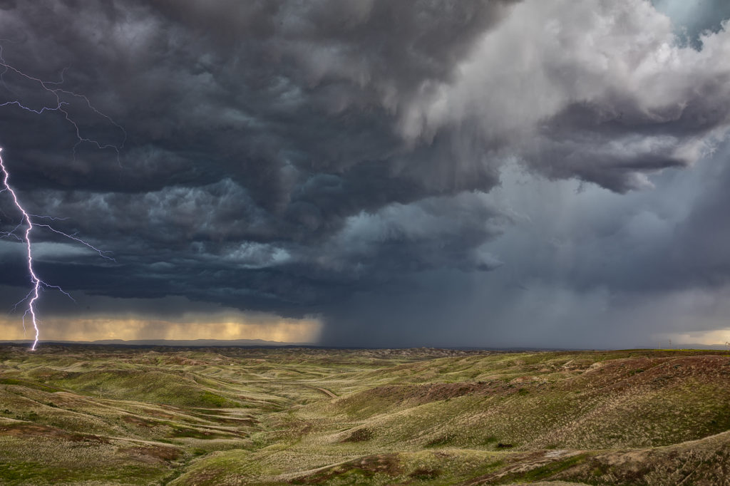
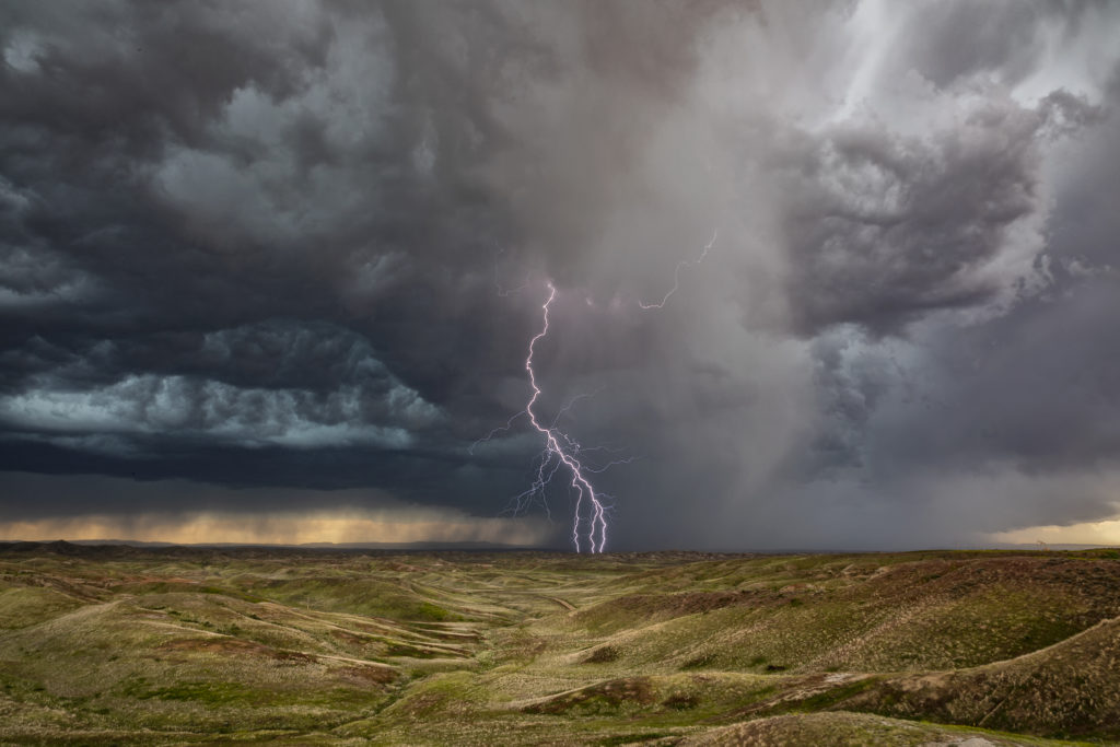
June 6th sent us to central and eastern Wyoming.  Upslope flow into the Big Horn mountains, along with decent shear and moisture would provide the ingredients to get intense storms developing. Several formed and a couple were tornado warned, and rolled across northeast Wyoming.  These storms were quite pretty and produced copious amounts of lightning, providing us with ample opportunities to stop and photograph it. A fun day!