Tag Archives | Tennessee

April 2-4 Arkansas, Tennessee and Texas Tornado Warned Supercells

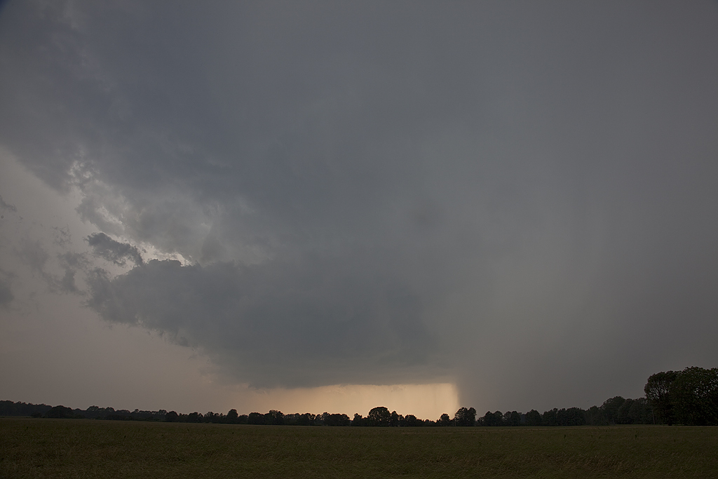
We ran an on call storm chasing tour in TN/AR/TX during the April 2-4 period. We caught numerous tornado warned supercells, however on the Lake City, AR day (4/2), we debated whether to play west of the MS river or east. (Very few crossings!) Parameters were pretty sweet. We ultimately chose east (ugh) due to several discrete cells and at that time nothing west of the river. Sooo, no tornado for us! Chased a half dozen tor warned storms, but nothing produced in TN, till after midnight of course.
Second day we chased southwest AR/NW LA. Storms formed southwest of us (Ida, LA) and became tor warned. As they approached and crossed the front into wet, cool, stratus filled skies that was the end. Elevated for certain.
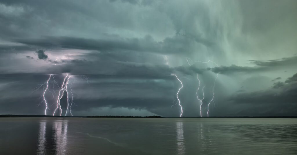
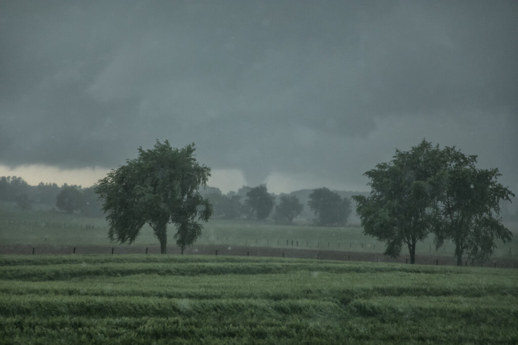
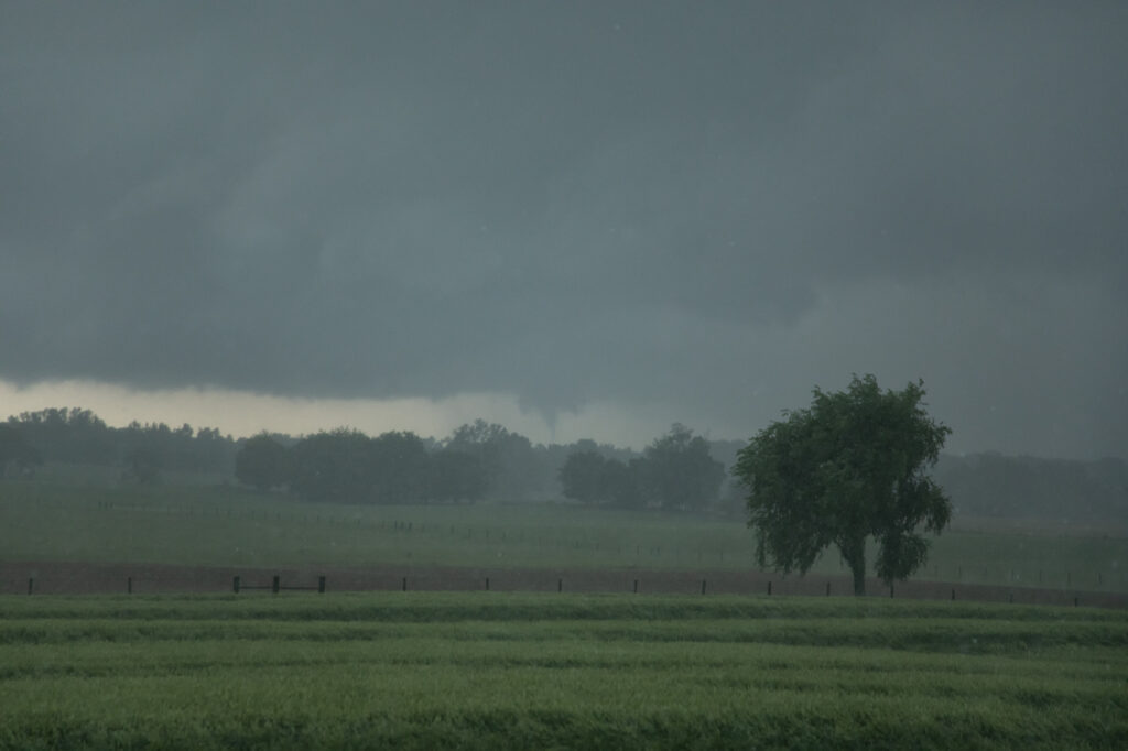
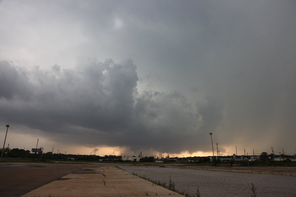
Last day (4./4), after spending the night in Texarkana, we stayed close. We were torn between the ne TX play or venturing up towards Little Rock as models were producing isolated supercells ahead of the front. We started towards Little Rock (Thinking of the Lake City event and hoping for Part 2!) and turned back around as several supercells emerged out of junky clusters in northeast Texas. We managed to catch one tornadic supercell between Texarkana and Douglassville, TX. A couple tornado reports came across, but appeared to be buried back in the Rear flank core around the hook. We found a spot by a lake as the storm approached. It was INSANELY electrified. You could see a VERY low wall cloud (possible messy circulation?) that persisted for many minutes before CGs hitting on the other side of us ran us back in to the van.
Fun trip, a bit disappointing that we didn’t catch the Lake City tornado, but you have to make choices and with several developing supercells east of the river, there was no way we were staying west. Even SPC’s MD hit western TN the hardest. Funny thing, we actually drove through Jonesboro and Lake City coming down from Springfield, MO that day. Ironic as can be…….

May 8th Springfield, Tennessee Tornadic Supercell

May 8th had a lot going for it. Strong instability, good shear, high CAPE and several boundaries played into the end result. We caught several tornado warned supercell, including one near Springfield, TN that produced a cone tornado. Between slow, curving, winding roads, low speed limits and slow traffic, it made it difficult to get in front of storms. The Springfield supercell spun like crazy and produced a cone, causing damage. It took us what seemed like forever to get in front of it. As we broke through the core, we could see the cone tornado behind us in the distance. It had been on the ground over 10 minutes. As we got into a better position to see it (due to hills and trees!), it dissipated. We then blasted south to catch a supercell near Columbia, TN that showed signs of strong rotation and was tornado warned. As we approached Nashville, insane traffic slowed us down by 30 minutes. And of course the supercell produced a violent wedge tornado that became rain wrapped by the time we could get to it due to traffic. Frustrating day, but we DID see a tornado! Tennessee and Kentucky are extremely difficult to chase in!!!! Enjoy what pics we could get!

May 25th Memphis, TN Tornadic Supercell

May 25th was kind of a let down for me. After a wild day before in Oklahoma, it certainly looked like the Missouri/Arkansas/Tennessee area was in for a big day as the system continued eastward. However, after spending hours waiting for initiation in Newport, Arkansas, we headed southwest towards Little Rock as storms exploded there. Of course, 2 hours after we left a tornado occurred just west of Newport. For sure it was one of those days. We chased several tornado warned storms, but something was missing. Maybe weaker 850 winds than further north into northern Arkansas and southern Missouri where numerous tornadoes occurred? We finally captured a nicely structured supercell that dropped a brief tornado just west of Memphis, Tennessee. The last 3 photos below were taken IN MEMPHIS, looking west across the Mississippi river (which was producing major flooding at the time).