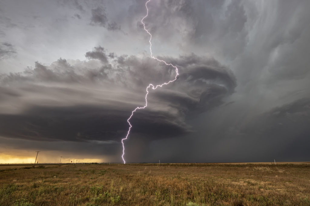
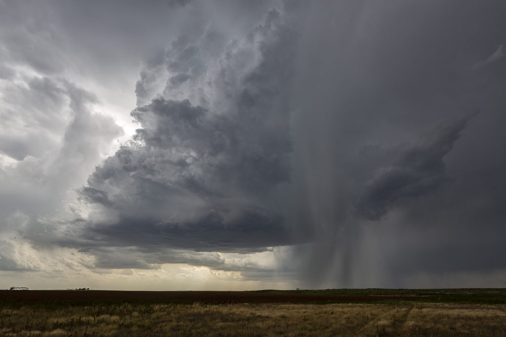
Sometimes, you just don’t care if a storm produces a tornado. It can be that pretty. Dryline supercell thunderstorms can be quite pretty, although they are often higher based. This day would give us just that. We had a high based supercell that formed along the Texas/New Mexico border and drifted slowly southeast towards Muleshoe, Texas. It spun like crazy. There was plenty of shear and instability this day and with the active dryline closeby we were hoping for a pretty storm. Active for several hours, this supercell produced incredible lightning, some of the best of 2019 to date and had nice structure.
Other storms would form later in the day and especially during the early evening as the cap was breached. Many of these storms were very electrified and intense, often being warned for large hail and damaging winds. A couple storms would become tornado warned, however no tornadoes occurred this day in our area. All in all, a fun day with a great storm and superb lightning!