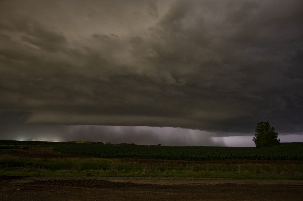
We weren’t expecting much on June 14th. Things were mistimed, moisture was iffy and instability lacking. Storms eventually fired early evening towards Grand Island along a front and moved eastward. They started out high based and lowered as the temp/dew point spreads lessened. West of Lincoln by mid evening, a supercell emerged and started really rotating strongly. A tornado warning was issued as the storm moved east and developed a strong couplet. (An EF3 tornado was confirmed later!) As the storm approached the north side of Lincoln, it wrapped in rain and was a very dangerous supercell. You couldn’t see what was going on in the notch and we didn’t dare go north without an escape route to look down the notch. We had to let it go due to timing and lack of roads. It moved east and recycled again becoming tornado warned. Some damage was recorded east of Lincoln, but at the time of this writing it was not confirmed whether it was tornadic or RFD winds. Certainly a surprise event and thankfully no fatalities occurred!


