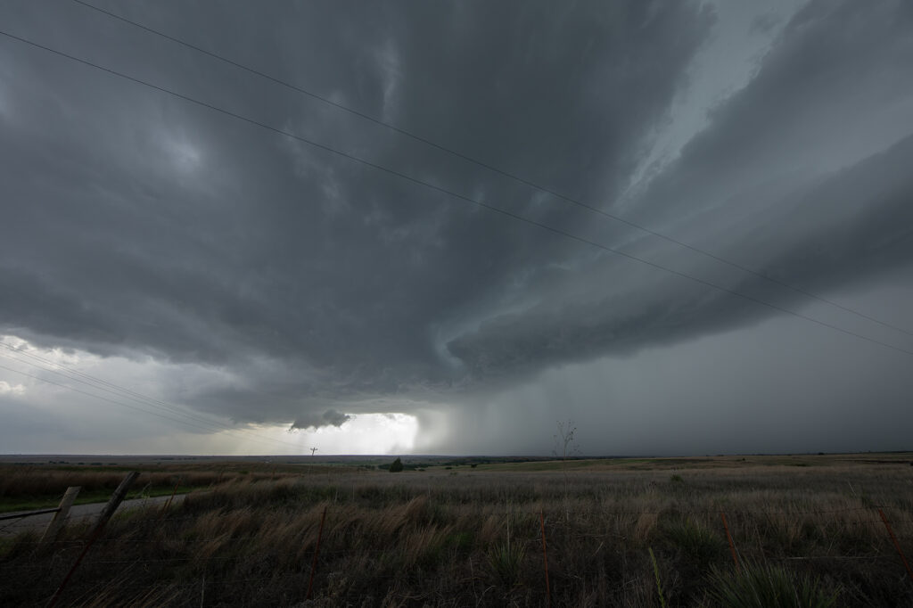
May 6th looked amazing on paper. All ingredients were well balanced and it appeared that a major tornado outbreak would occur. As the chase set up, models kept hinting at a rapid evolution to a line of severe storms instead of individual supercells. In the end the afternoon models are absolutely correct. The Storm Prediction Center issued a HIGH RISK for Oklahoma and the highest tornado probabilities that I’ve ever seen! As the old saying goes, sometimes too much of a good thing isn’t a good thing. Strong forcing would cause rapid line of storms to form. Most storms were tornado warned, but did not produce. We chased a half dozen tornado warned storms, but only one came close to producing near Canton, OK. We kept dropping to the tail end storm with no luck. Each cell would mature, with a fast developing storm on its flank causing the forward storm to become a cell embedded within a line. Storms need space to rotate and nature didn’t provide that this day. In the end, it was a total bust for almost all chasers, the SPC and local NWS offices. It just goes to show you that no matter what you think you know about the environment, nature knows more!