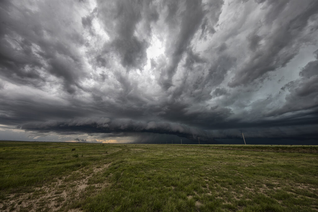
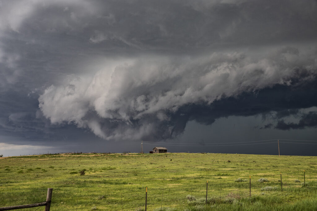
An interesting on June 30th. There was a fair potential for supercells but not a lot of potential for tornadoes due to lack of low level shear. By early afternoon storms formed east of Trinadad, CO. As they moved east, one storm became a supercell. We arrived at the time it pushed east towards Kim. It became tornado warned within 30 minutes. At one point it had a rotating wall cloud, but never looked like it would produce. Structure was decent and the hail very large, tennisball sized. Numerous storms formed later and merged into a squall line, producing a haboob over western Kansas. It’s always fun encountering a haboob as a wall of blowing dirt pushes away from the storms in the shape of a wedge. Fun day and great way to end the evening! Enjoy the pics!
June 5th West Texas Haboob
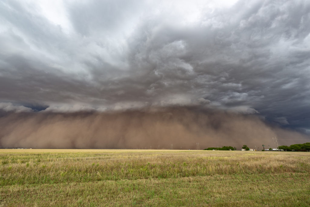
A crazy day ensued as a cluster of high based storms formed in New Mexico and tracked east into west Texas. As the storms approached the Lubbock area a very well formed haboob occurred, with a wall of dust/dirt scouring the landscapes. Haboobs can be very photogenic and this one was one of the best I’ve ever witnessed in 35 years of chasing in the Texas panhandle! High winds, large hail and that wall of dirt occurred within this line of cells as they raced across Texas. An exciting day on a day when we weren’t expecting anything significant! Enjoy the cool pics!


