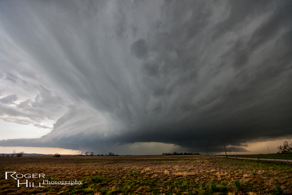
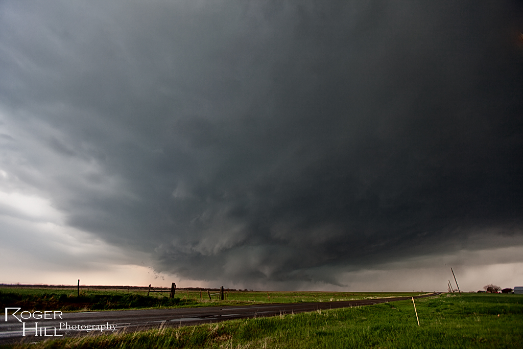
April 26th was a surprise day for me. I wasn’t figuring on much happening, however nature gave us a pretty supercell west of Clinton that had decent structure, hail and was tornado warned, despite limited moisture and shear. Here’s a few shots of it.
April 17th Southwest Oklahoma Tornadic Supercells
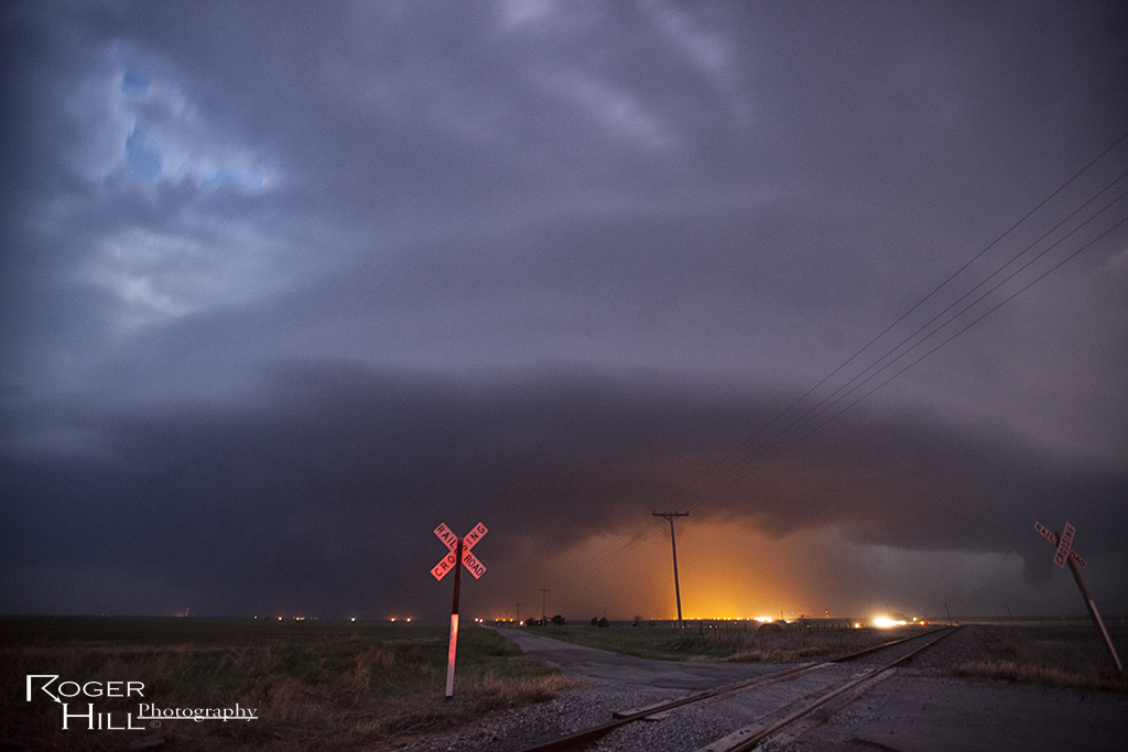
The hype of April 17th didn’t live up to its billing. Only a few brief tornadoes occurred, and most were not very visible or photogenic. We chased a supercell near Lawton that produced a messy tornado in town, and then dropped south to the Red River of a near dark supercell that produced a small tornado before we could get there.
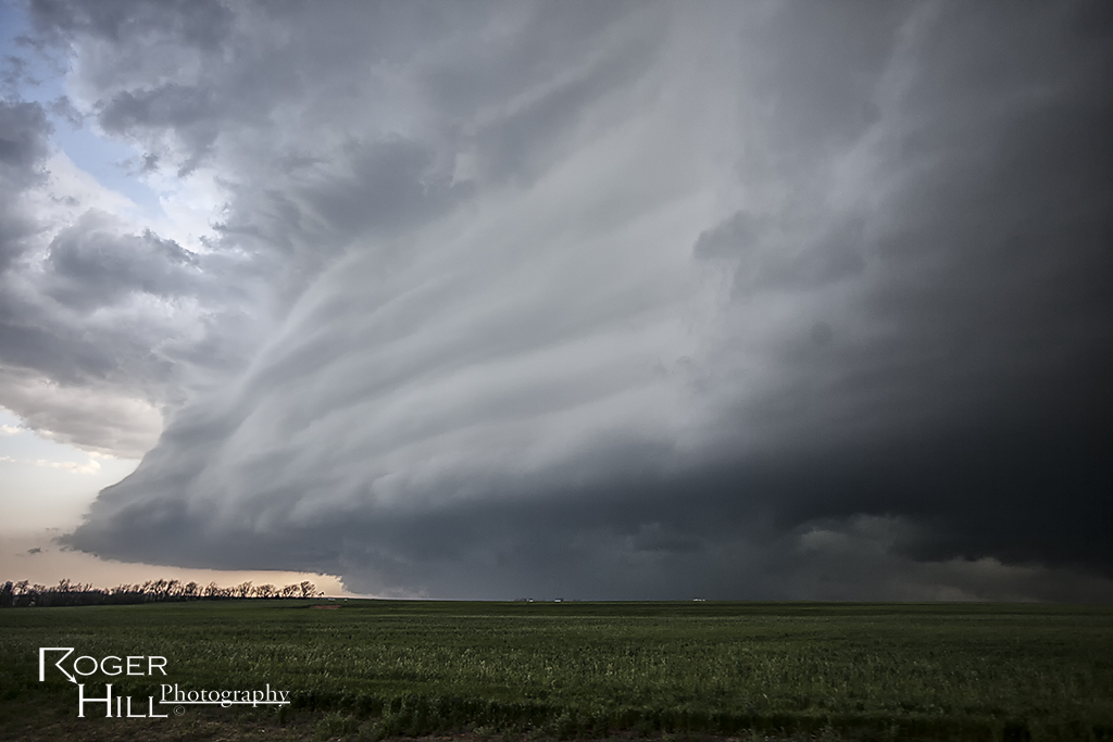
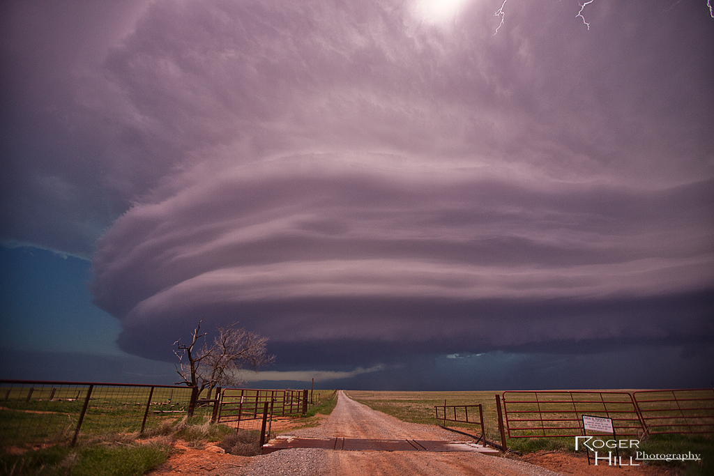
April 22nd Leedey, Oklahoma Beautiful Supercell
April 22nd took me to northwest Oklahoma to play a dryline/cold front intersection. A couple of intense supercells formed near Enid and northward across the Kansas border, but we waited till the dryline storms formed by early evening. A magnificent supercell formed southwest of Woodard, and turned moving southeast towards Leedey. The structure of the storm was simply stunning, with the best photography occurring just as dusk as intercloud lightning illuminated the highly striated updraft!
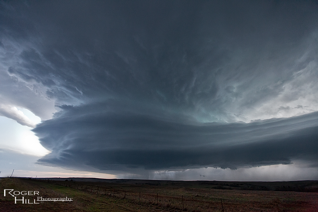
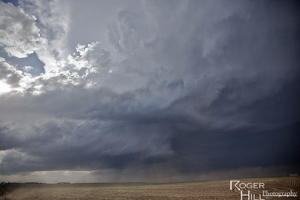
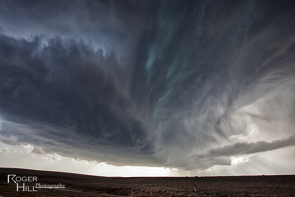
April 8th Eastern Colorado Supercell and Weak Tornado
April 8th took me to the I-70 corridor near Flagler and then northeast to north of Burlington, Colorado. A high based supercell formed in a high shear low CAPE environment and struggled as it moved northeast, often coming close to dissipating before restrengthening again. Storm structure was decent and eventually the storm produced a brief, weak tornado north of Burlington.