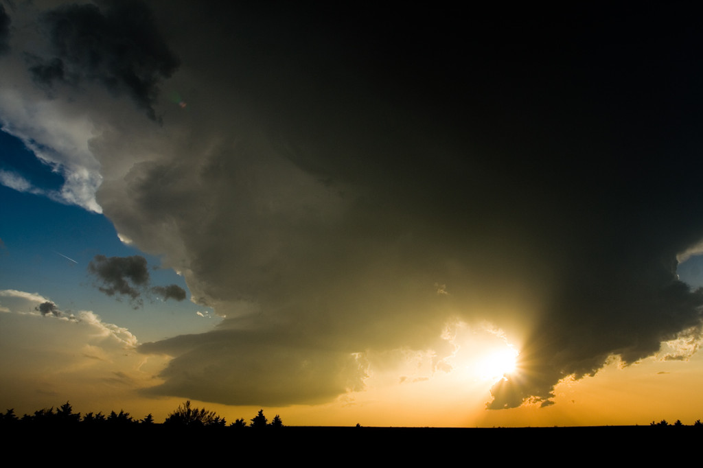
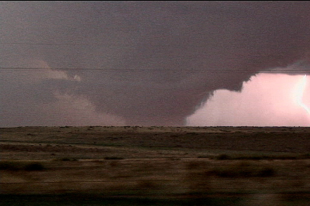
April 23rd was a very disappointing day for me. I had two targets, one in southwest Kansas and the other in the Texas panhandle. I chose the wrong one, the Texas panhandle. A nice rotating storm that was tornado warned developed south of Amarillo and moved northeast. What I failed to anaylize was that earlier convection spewed out cold air that was pulled into this storm, thus never allowing it to become as intense as it could have. It stayed in the LP state for its entire life, while two other storms in western Kansas became tornadic. Just goes to show you that you win some and you lose some!
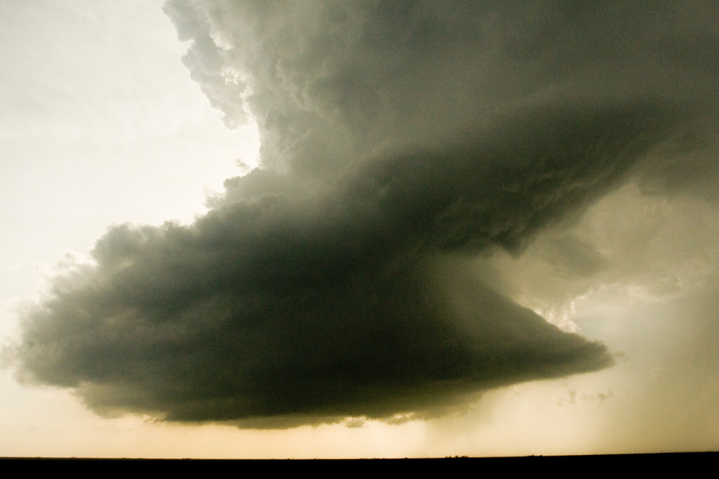
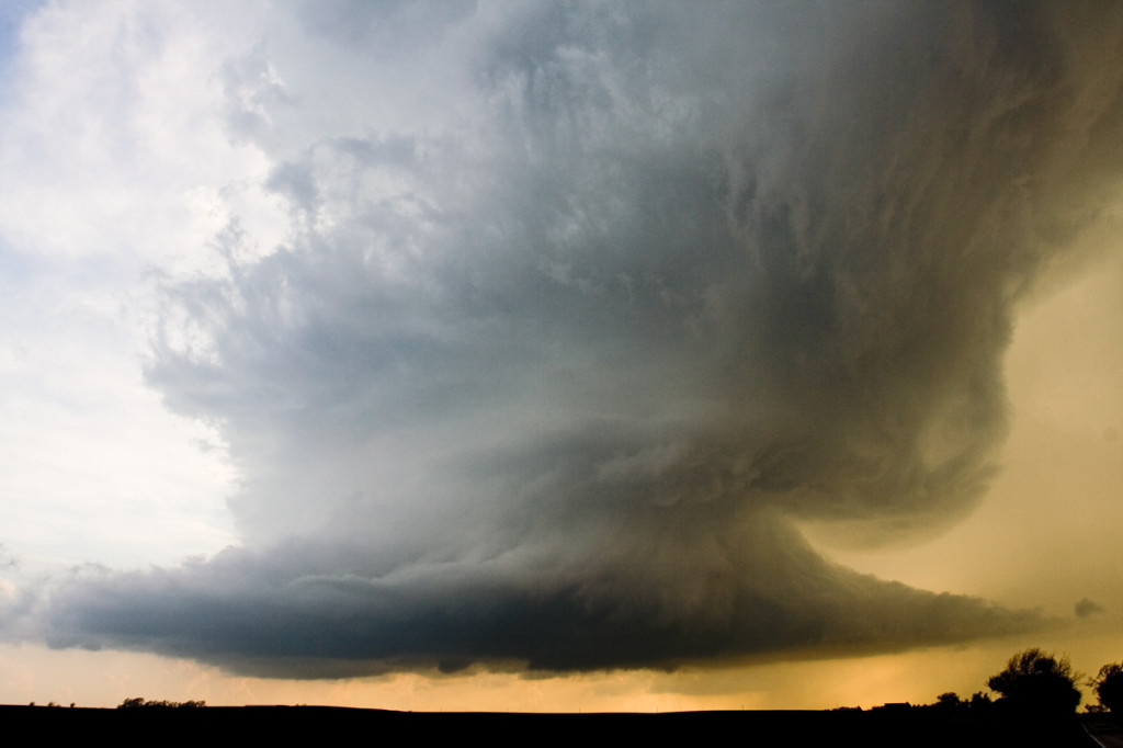
April 24, 2007 Nickerson, KS Tornadic Supercell
April 24th was a day that held great promise. SPC had a large MODERATE RISK all across the central and southern plains. I decided to play the area along the dryline/warm front intersection in central Kansas. We waited and waited and waited for things to finally get going. Every updraft that went up suffered from entrainment issues and finally the tail end updraft near Nickerson went crazy. This storm developed beautiful structure and produced at least a half dozen weak tornadoes.
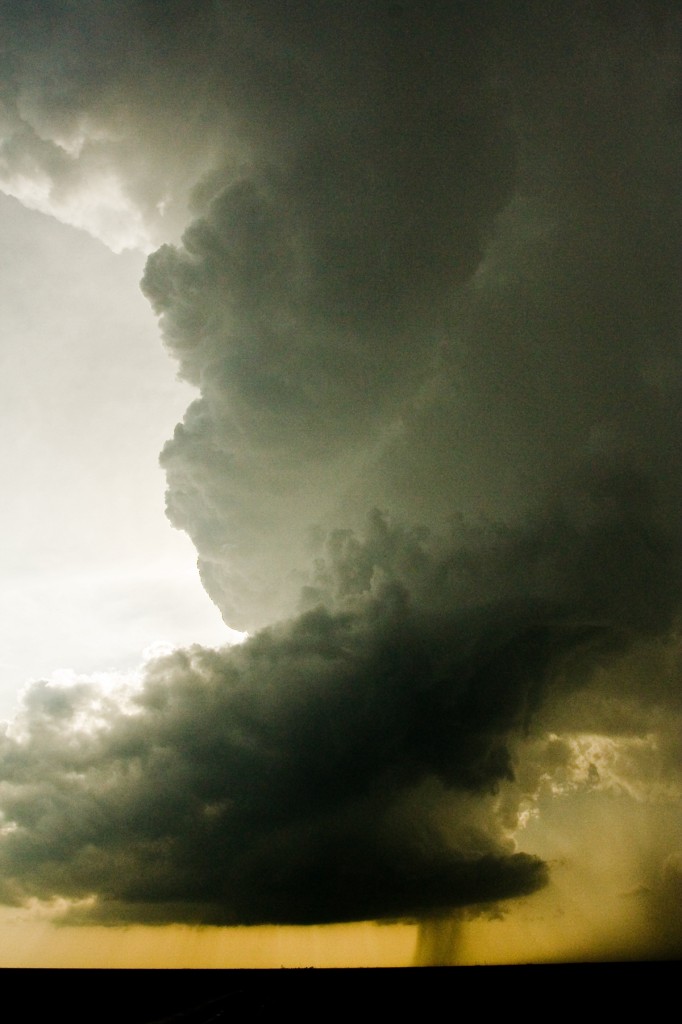
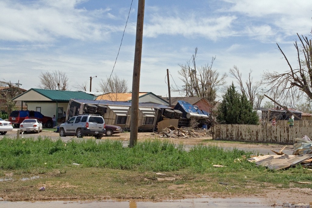
April 21, 2007 Texas Panhandle Tornadofest
Not much can be said about April 21st that hasn’t already been said. Decent moisture, great lift, great shear and a strong dryline would spell trouble for the Texas panhandle region. By mid afternoon, many cells tried to form on the dryline and just couldn’t get surface based. Finally about 4 PM storms started to become surface based and it did not take long for them to become tornadic. We intercepted a tornadic storm not far from Dumas and a second one near dark southeast of Dumas.
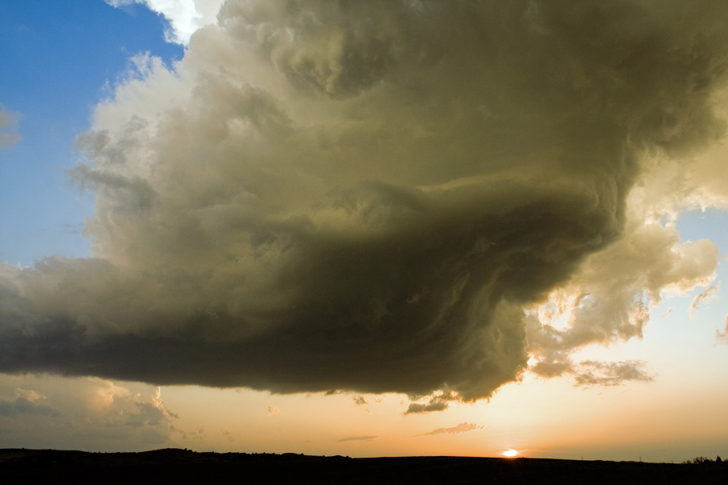
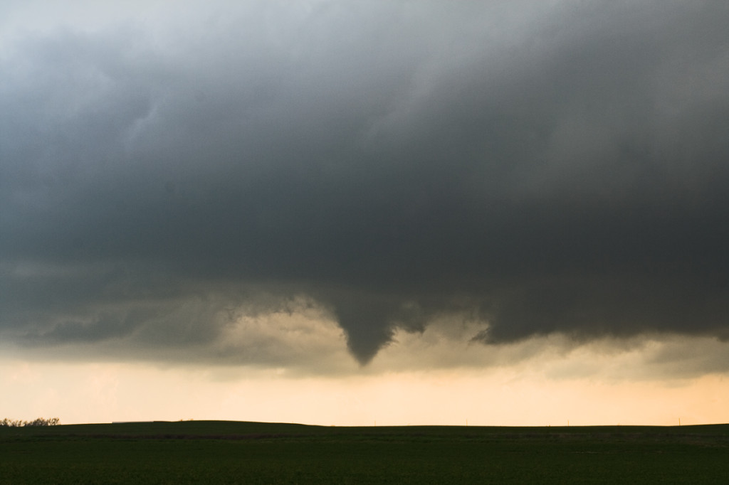
April 20, 2007 Moorefield, Nebraska Tornadic Supercell
Since April 20th was my birthday and there was a respectable chance for severe storms, Caryn and I headed out on i-76 towards Imperial, Nebraska to play the strong upslope flow with good shear, but marginal moisture. Dewpoints were expected to increase as the evening progressed, but what we ended up with was much more than I had planned on! A couple of LPish type storms developed around 6 PM and then just before dark, a tornadic beast emerged from the tail end of the complex and produced several tornadoes that caused considerable damage between Moorefield and Gothenburg.