
May 9th Southwest Texas Tornadic Supercells
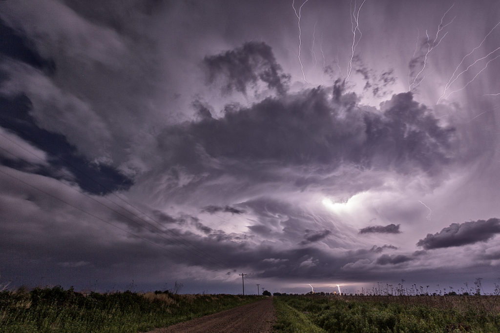
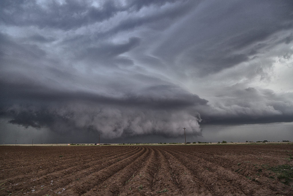
May 9th was a wild day in Texas and New Mexico. A large closed low over the desert southwest would slowly approach the region. Strong deep layer shear, however with fairly weak surface winds, would overspread the area by late afternoon. Decent moisture and instability would contribute to a very unstable airmass. Storms exploded in the higher terrain of northeast New Mexico first, then later developed over southeast New Mexico and eventually spread into southwest Texas. We intercepted a tornado warned storm near Clovis, New Mexico which didn’t have the appearance of becoming tornadic. Then another supercell developed in southwest Texas and moved towards Enochs. Just northeast of Enochs it produced two tornadoes. We would continue following it northeast until it weakened near dark. At that time another supercell formed near Hobbs, New Mexico and quickly raced northeast towards Whiteface, Texas. This storm spun hard, but never could produce a tornado. Overall, the weak low level shear would result in only brief tornadoes this day, but it was still a great chase event.
No comments yet.