
May 30th, 2007 Colorado HP Hailstorm
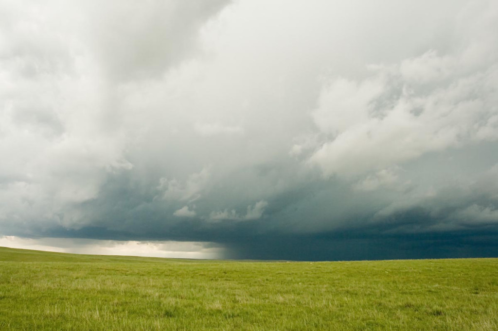
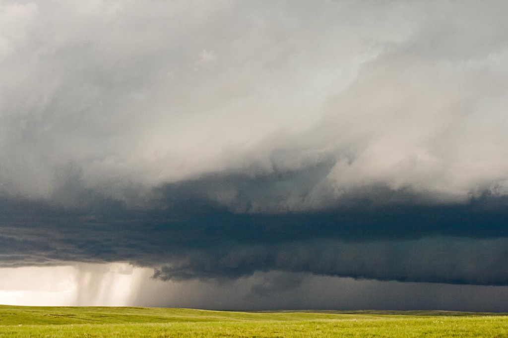
May 30th included a tornado watch for all of eastern Colorado. An old outflow boundary/cold front lay from the Palmer Divide northeastward to the triborder area. Strong low level shear and ample mid level flow, coupled with decent moisture and instability would set the stage for supercell storms in Colorado. As is often the case in the high plains of Colorado, storms become HP rather quickly and produce intense amounts and sizes of hail. This storm would be no different. Despite the continuance of many tornado warnings, this storm never really had the chance to produce due to its extreme outflow dominance. Check out the photos below.
No comments yet.