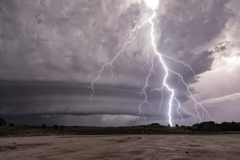
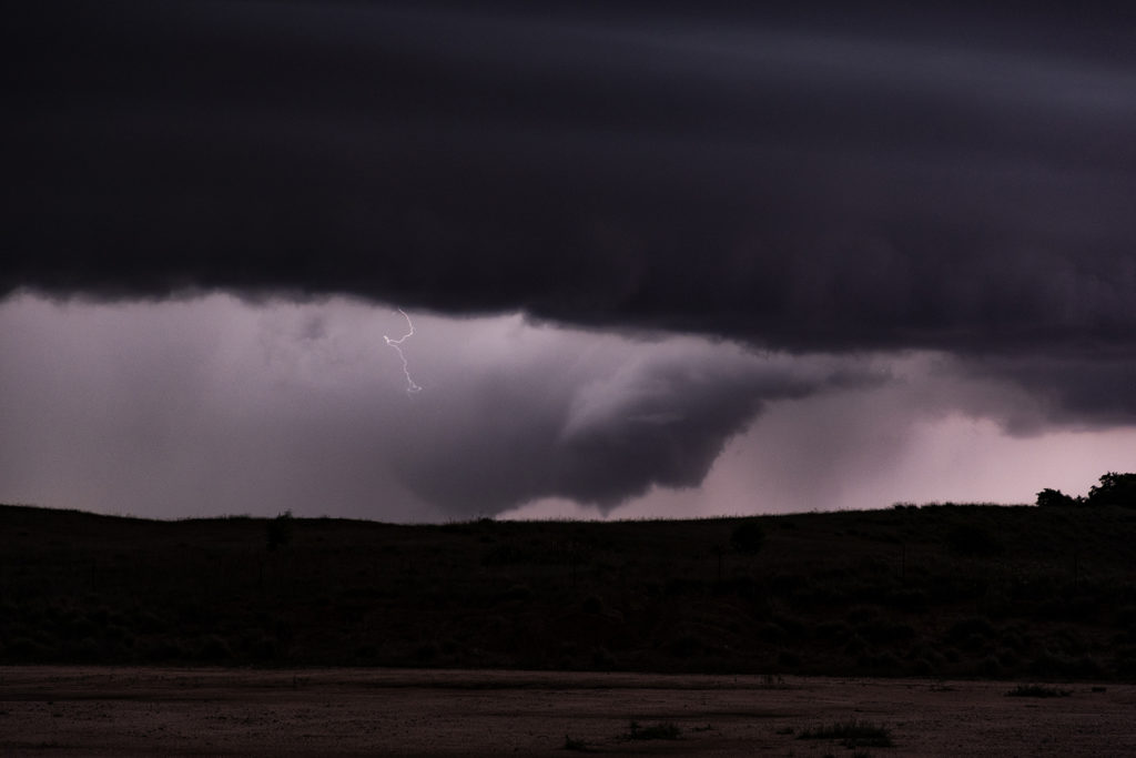
May 14th Orion, Oklahoma Possibly Tornadic Supercell
We weren’t expecting much on May 14th. We had gone to northwest Oklahoma to watch a triple point area for storm development. Shear, moisture and instability were there, but so was a strong capping inversion. Some models forecast storms late, and others showed no initiation whatsoever. We waited and watched a couple LPish storms form and quickly die as the cap was too strong. We decided to head down I-40 towards OKC and see if anything would form. It certainly did! Off to our north, an updraft formed and looked to struggle. Eventually it intensified and we went north to catch it. We intercepted the strongly rotating updraft northeast of Seiling near the town of Orion. Structure was fantastic. It developed a low hang, rotating wall cloud, which looked like it produced a tornado. We could not absolutely confirm it, however other chasers in the areas said there was a brief touch down. We witnessed a couple of funnels as well. We stayed with the storm until it weakened late evening and then headed off to Oklahoma City. Great day for what appeared to be marginal at best! Please click on a photo to see a larger image. Enjoy!


No comments yet.