
March 31st, 2008 Southwest Oklahoma Supercells
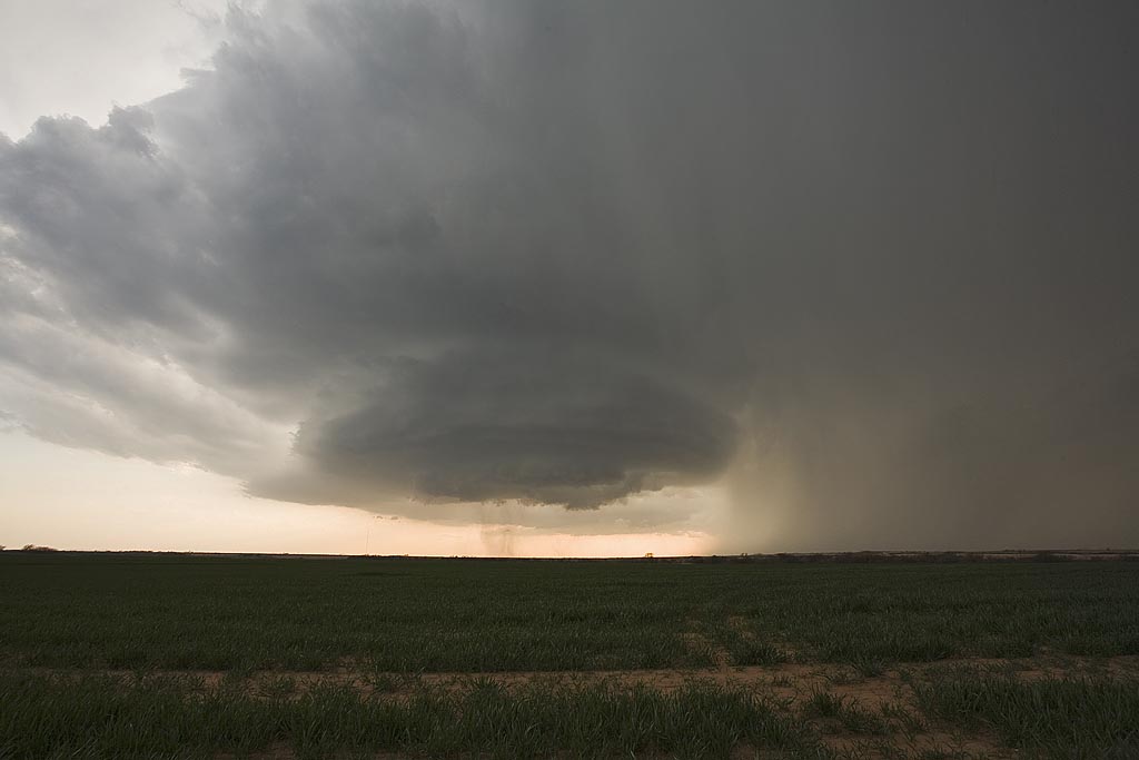
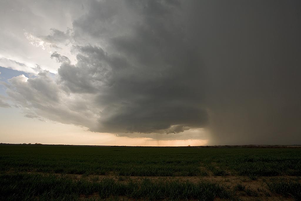
March 31st was one of those potential bust days with a strong cap in place across western Oklahoma. The ingredients were there, now we just needed enough forcing and convergence to get a storm to form. And they did! A beautiful classic/lpish supercell developed not far from Hobart and tracked all the way to Oklahoma City, being Tornado Warned the entire time. It came close a couple of times, but the low level flow was just not strong enough to produce a tornado. What we did encounter was baseball sized hail that shattered my windshield. Check out the photos below.
No comments yet.