
June 22nd Western Illinois Tornadic Supercell
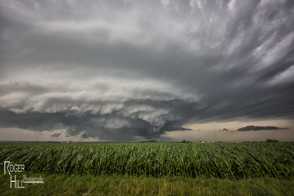
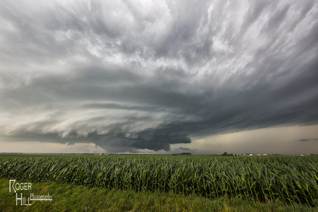
We made a long hard dash from North Dakota to Illinois on June 22nd for what appeared to be a setup that had high tornado potential. Extreme instability, upper 70s dewpoints, strong wind shear and a warm frontal boundary would set the stage for a pretty decent tornado event. By late afternoon we arrived near Moline as storms finally got going along the boundary. Several supercells evolved along the warm front and several became tornadic. We intercepted two supercells that produced tornadoes, albeit weak tornadoes. Surprisingly there was only one tornado rated EF2 this day, which occurred well after dark. We chased along and north of I-80 from east of Moline to north of Peru, Illinois. Too many cell interactions made for a sloppy event, although the first tornadic supercell we intercepted near Hooppole had very pretty structure. I was sure this storm would drop a significant tornado. It produced a weak tornado that skipped along the ground for a couple minutes. As it continued east, it produced another tornado, a short lived multiple vortex tornado northwest of Peru. Later another supercell we saw in the dark produced the EF2 southeast of us. We couldn’t stay up with it. A long day, but a rewarding day for the tour!
No comments yet.