
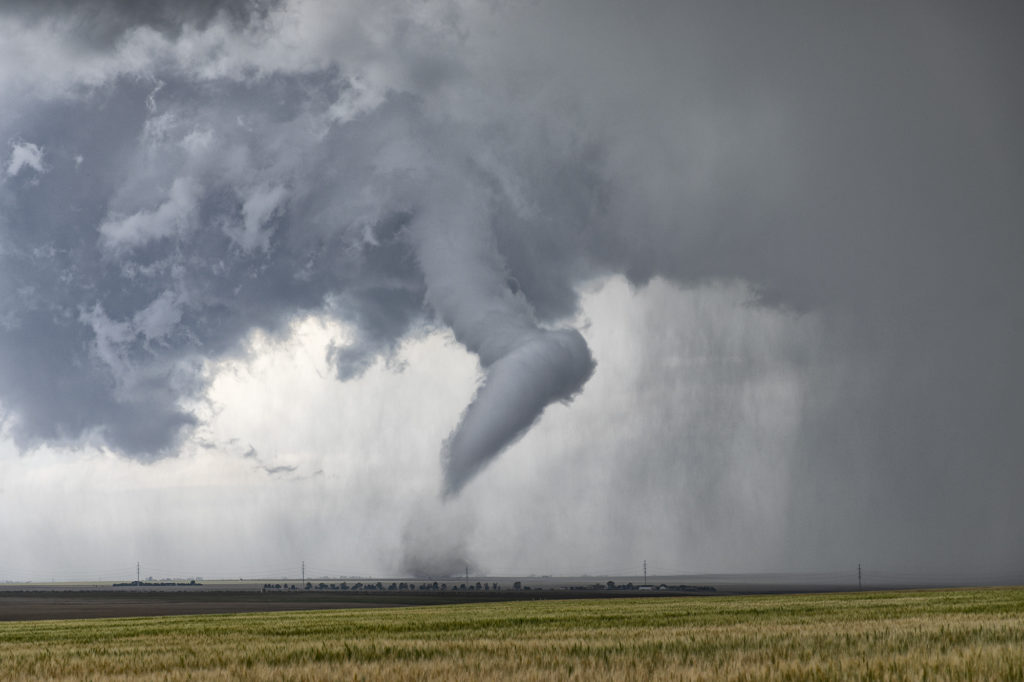
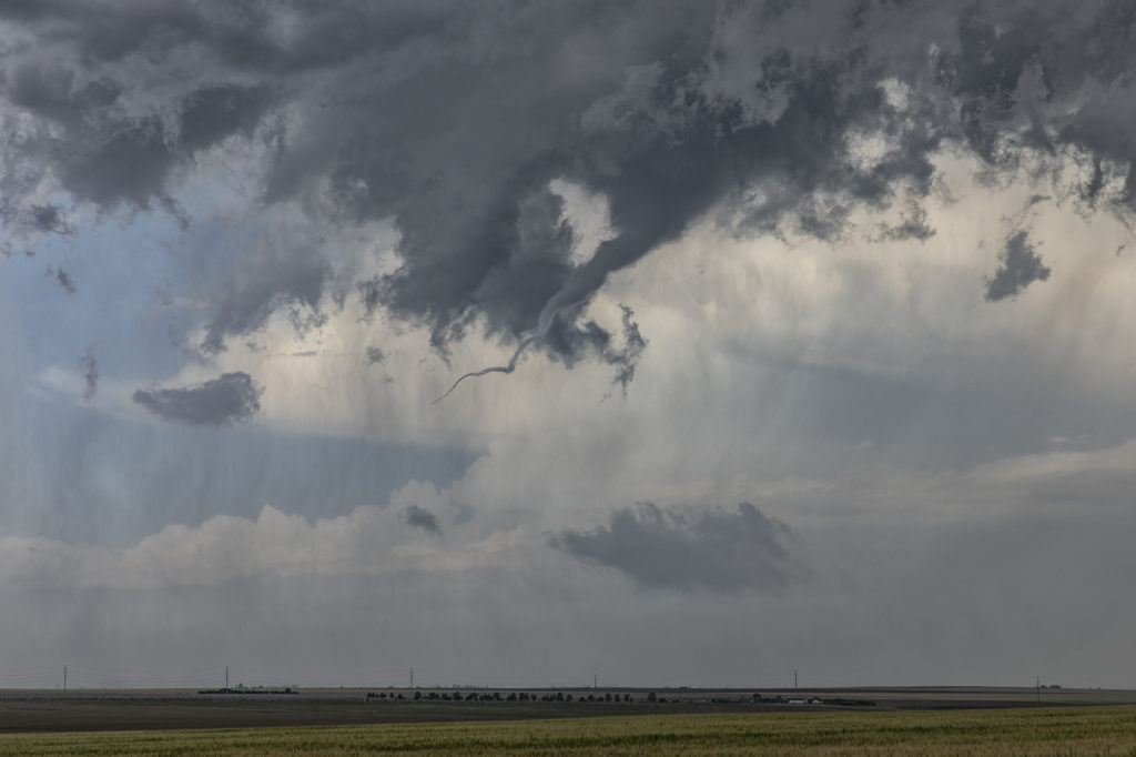
June 19th Prospect Valley, Colorado Tornado
June 19th had tornado written all over it. It didn’t disappoint either! Fantastic wind shear, high CAPE, good moisture for the high plains and upslope flow into the foothills provided all the ingredients needed to get tornadic supercells to form. An amazing sight, 3 significant supercell storms formed at the same time, situated about 50 miles apart. Usually the tail end storm is the cell you want to target, however, an old outflow boundary existed in which the middle cell developed on. It would be that cell that would go on to have amazing structure and produce the Prospect Valley tornado. All 3 storms would become tornado warned during their lifespans. The middle storm we watched grow from a smaller storm to a well structured tornadic supercell as it crossed I-25 and moved eastward. Various wall clouds, each time showing rotation, formed until finally rotation tightened to produce a tornado. A long snaking tornado was on the ground for nearly 10 minutes before roping out. After the tornado, the storm still spun as it moved across eastern Colorado before dying south of Ft Morgan. At that time, we blasted south to Limon and points east as the tail end storm took over the show. It also was tornado warned and may have produced a rain wrapped tornado north of Genoa. Structure was beautiful HP supercell, and it also was highly electrified. By early evening the storms lined out as they moved into Kansas producing high winds and heavy rain. A fantastic day for the tours as nature gave us quite a show!
No comments yet.