
July 17th Northeast Colorado Tornado Warned Supercell
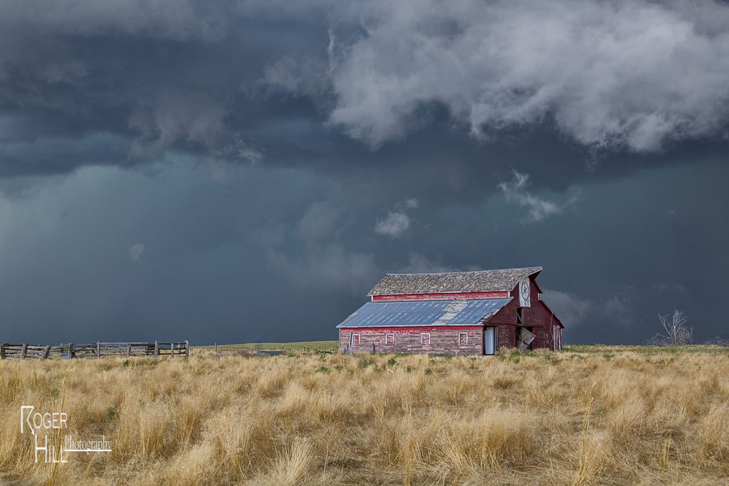
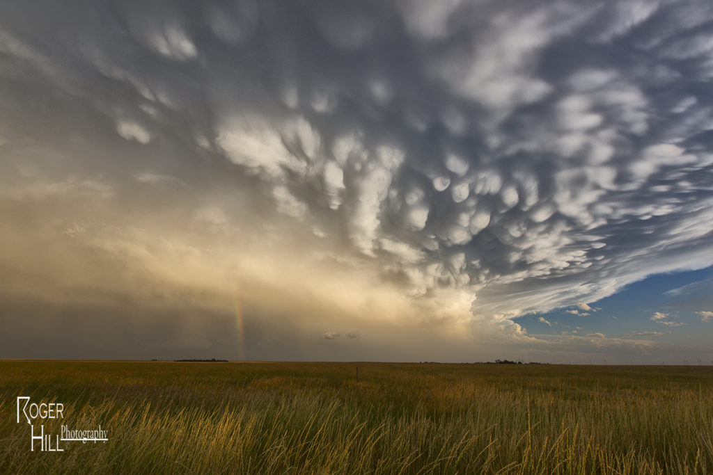
July 17th was a high plains upslope set up. Southeast winds along a boundary would funnel moisture into the Cheyenne ridge. A supercell formed early afternoon near Chugwater, WY and would right turn and track down the boundary into northeast Colorado. This storm was outflow dominant most of its life cycle and was a major hail producer. In Colorado it became tornado warned, although not a big threat in my opinion since it was outflow dominant. We came across some beautiful landscapes to photograph the storm, and everyone had a great time with it. The storm never produced a tornado but it did produce significant hail the size of baseballs along its path. This was to be the last great day for the season as we wrapped up tours and headed home to Denver. Thank you all for a wonderful tour season. We have the best guests and guides on the planet!
No comments yet.