
July 17, 2009 Texas Panhandle and Colorado Supercells
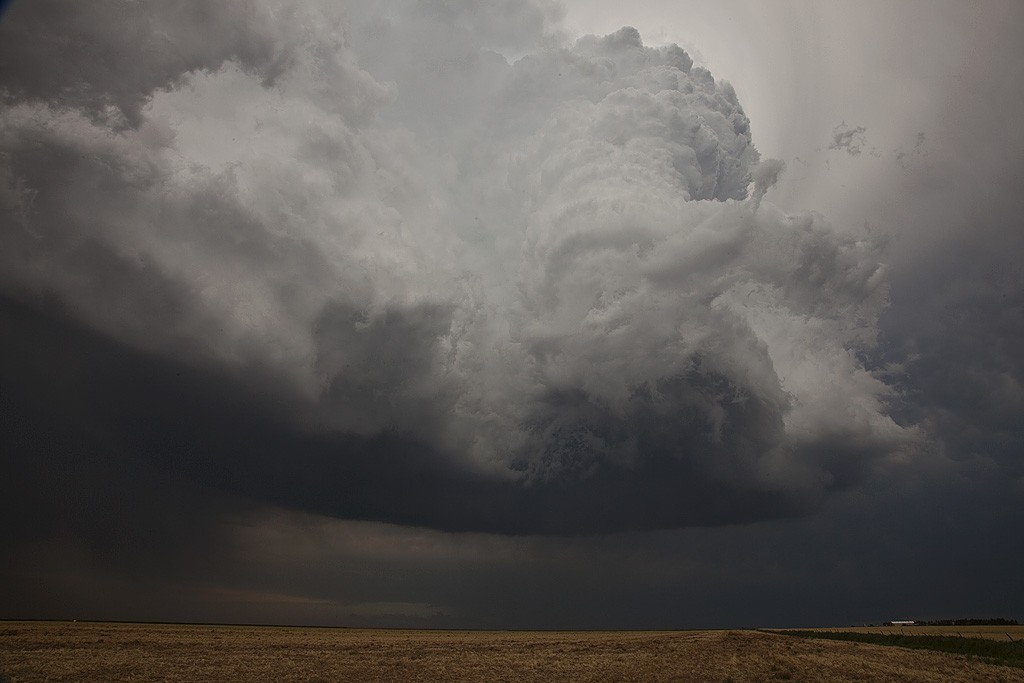
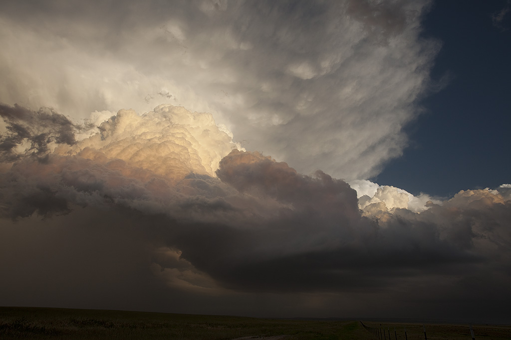
July 17th was a classic northwest flow event. Good deep layer shear, moisture and instability would cause storms developing over the higher terrain of Colorado and northeast New Mexico to increase in intensity as they moved southeast across eastern Colorado and the Texas panhandle. We intercepted a nicely sculpted severe storm northwest of Dumas, Texas that produced near golfball sized hail. But the storm of the day was a southwest moving tornadic supercell in southeast Colorado. It had magnificent structure, 50 mph inflow winds, baseball sized hail and a tornado. I also was able to do a time lapse over an almost 80 minute period of the updraft as it spun nicely. Watch the video below!
No comments yet.