
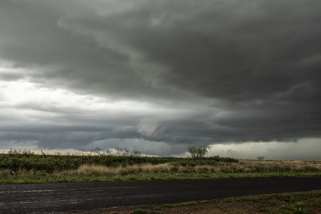
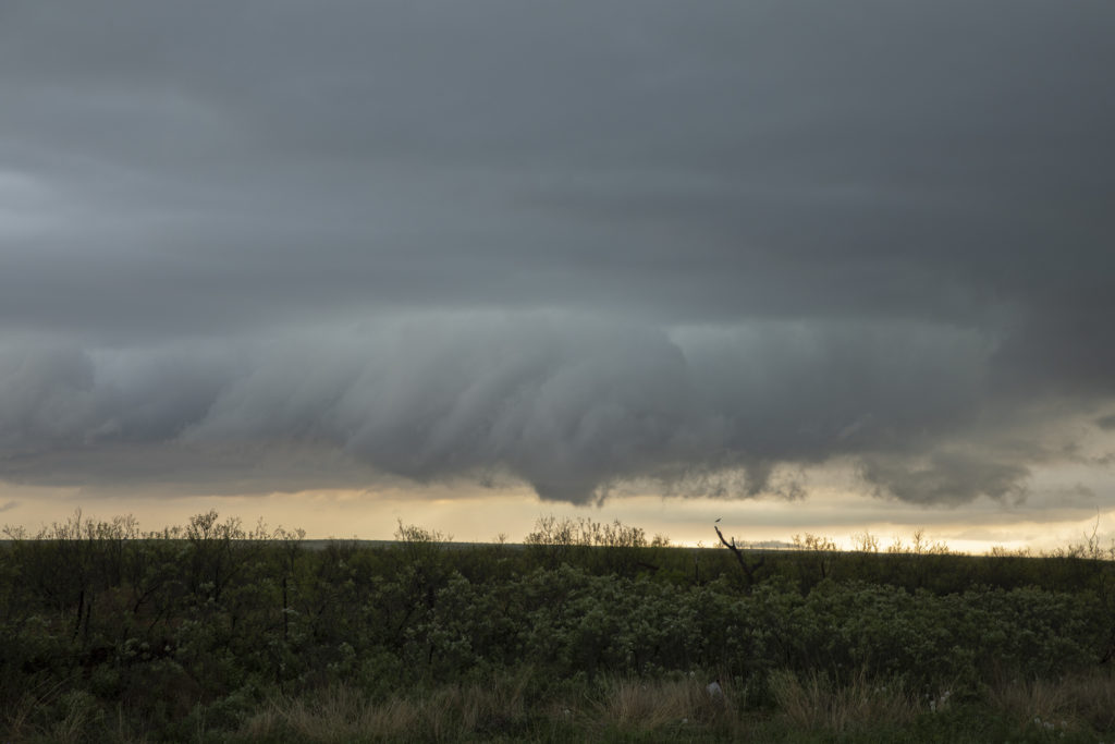
April 22nd Seminole, Texas Tornado Warned Supercell
Triple point action would be the play this day as a moist southeast surface flow would advect decent moisture northwestward towards a surface low in southwest Texas. By late afternoon, decent CAPE, moisture, shear and lift would result in a few storms developing at the triple point south of Seminole. After an hour of pulsing, one storm intensified and right turned along the boundary, becoming a supercell and eventually becoming tornado warned. It spun had as a very low hanging wall cloud would form. It just couldn’t focus in one area very long before shearing apart and a different area started spinning. As we moved east along highway 180, it became continuously tornado warned, but just couldn’t focus enough to produce. A couple of high based funnels occurred, as well as hail golfball size. If low level flow would have been a bit stronger, it may have eventually produced a tornado. By early evening the storm weakened and dissipated as the sunset and stabilization occurred. Fun day for us all!
No comments yet.